Volga–Baltic Waterway, Saint Petersburg

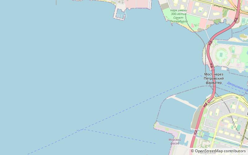
Map
Facts and practical information
The Volga–Baltic Waterway, formerly known as the Mariinsk Canal System, is a series of canals and rivers in Russia which link the Volga with the Baltic Sea via the Neva. Like the Volga–Don Canal, it connects the biggest lake on Earth, the Caspian Sea, to the World Ocean. Its overall length between Cherepovets and Lake Onega is 368 kilometres. ()
Address
Saint Petersburg
ContactAdd
Social media
Add
Day trips
Volga–Baltic Waterway – popular in the area (distance from the attraction)
Nearby attractions include: Sibur Arena, Smolensky Cemetery, Smolensky Lutheran Cemetery, Bolshoy Petrovsky Bridge.
Frequently Asked Questions (FAQ)
How to get to Volga–Baltic Waterway by public transport?
The nearest stations to Volga–Baltic Waterway:
Bus
Bus
- Морской вокзал 4 • Lines: 158 (32 min walk)
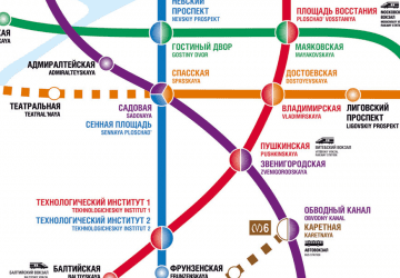
 Metro
Metro


