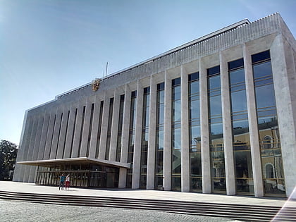
Star Square, Moscow
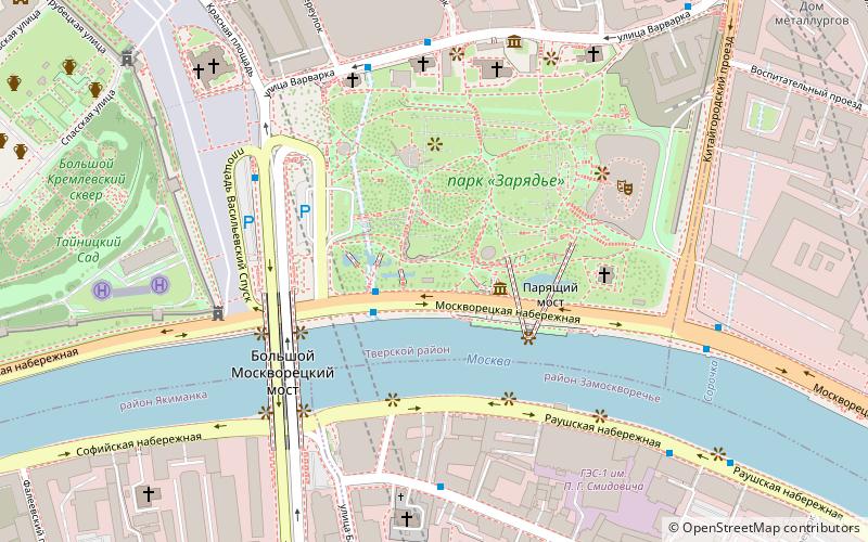
Map
Facts and practical information
Star Square, Square-alley in the center of Moscow in the Tverskoy District near Moskvoretskaya Embankment. ()
Address
Центральный административный ок (Таганский)Moscow
ContactAdd
Social media
Add
Day trips
Star Square – popular in the area (distance from the attraction)
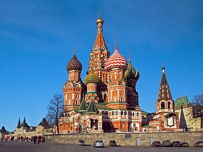
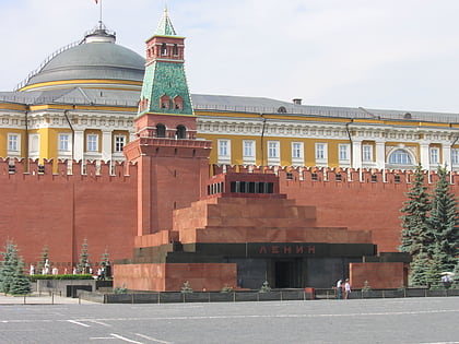
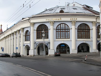
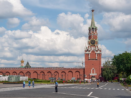
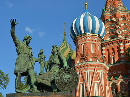
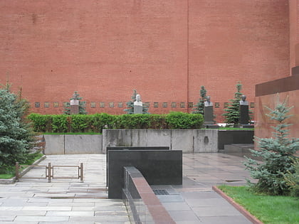
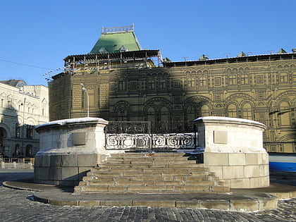
Nearby attractions include: Saint Basil's Cathedral, Lenin's Mausoleum, Gostiny Dvor, Spasskaya Tower.
Frequently Asked Questions (FAQ)
Which popular attractions are close to Star Square?
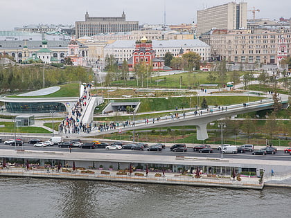
Nearby attractions include Zaryadye Park, Moscow (3 min walk), Zaryadye, Moscow (3 min walk), Bolshoy Moskvoretsky Bridge, Moscow (4 min walk), English Manor Museum, Moscow (4 min walk).
How to get to Star Square by public transport?
The nearest stations to Star Square:
Bus
Metro
Tram
Bus
- Зарядье • Lines: 255 (2 min walk)
- Red Square • Lines: с920 (4 min walk)
Metro
- Kitay-gorod (12 min walk)
- Revolution Square • Lines: 3 (13 min walk)
Tram
- Комиссариатский мост • Lines: 3, 39, А (13 min walk)
- Яузские Ворота — Памятник Пограничникам Отечества • Lines: 3, 39, А (15 min walk)
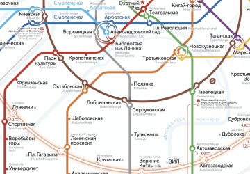 Metro
Metro