Avtozavodsky City District, Nizhny Novgorod

Map
Facts and practical information
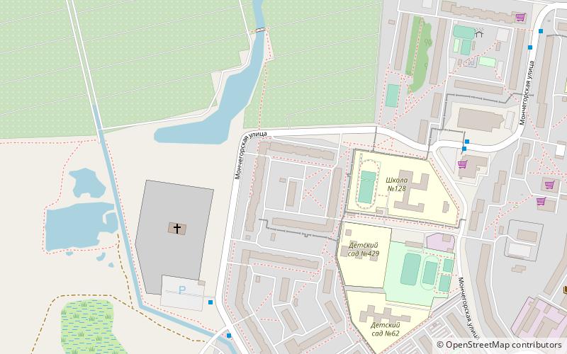
Avtozavodsky City District or Avtozavod is one of the eight districts of the city of Nizhny Novgorod, Russia. It is located in the southwest of the Lower City of Nizhny Novgorod, on the low left bank of the Oka River and has a land border with Leninsky City District to the north. It is also connected by the Myza Bridge with Prioksky City District in the Upper City. Population: 303,054 ; 314,494 ; 340,378 . ()
Address
Nizhny Novgorod
ContactAdd
Social media
Add
Day trips
Avtozavodsky City District – popular in the area (distance from the attraction)
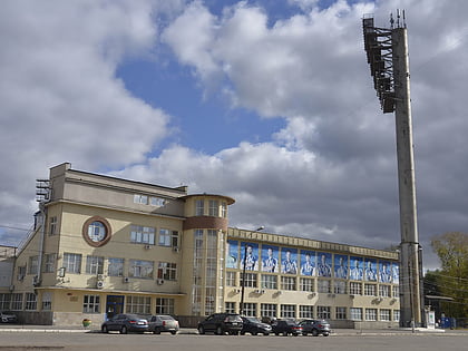
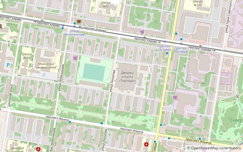
Nearby attractions include: Lokomotiv Stadium, Muzej istorii OAO GAZ, Muzej-kvartira A.D. Saharova, Avtozavodskij park Kultury i otdyha.
Frequently Asked Questions (FAQ)
How to get to Avtozavodsky City District by public transport?
The nearest stations to Avtozavodsky City District:
Bus
Tram
Trolleybus
Train
Bus
- Космическая улица • Lines: 65, 68, 77, т44, т49, т65, т67, т87 (6 min walk)
- ТЦ Мончегорский • Lines: 58, 9, т87 (6 min walk)
Tram
- 52-й квартал • Lines: 417 (21 min walk)
- улица Минеева • Lines: 8 (21 min walk)
Trolleybus
- улица Минеева • Lines: 2, 22, 4 (24 min walk)
- Больница 40 • Lines: 2, 22, 4 (28 min walk)
Train
- Нижний Новгород - Стригино (29 min walk)


