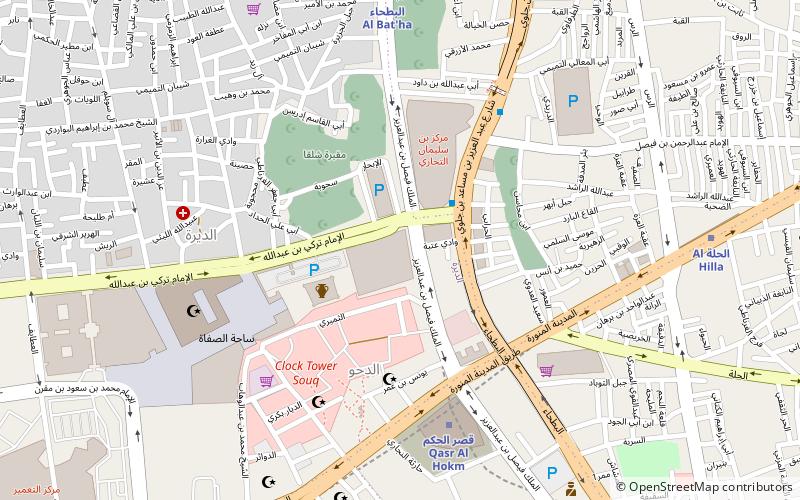
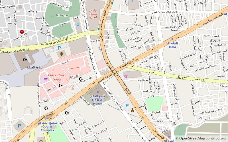
Salaam Mall slam mwl, Riyadh
Map
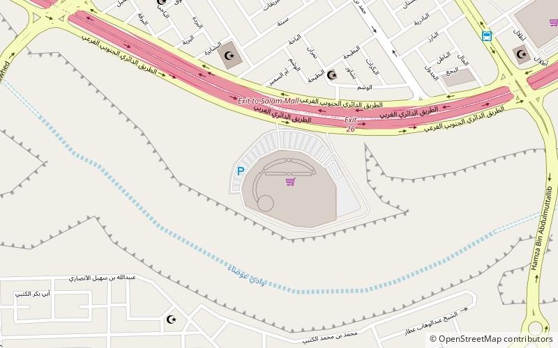
Map

Facts and practical information
Salaam Mall slam mwl (address: Western Ring Road) is a place located in Riyadh (Ar Riyad region) and belongs to the category of shopping, shopping centre.
It is situated at an altitude of 2238 feet, and its geographical coordinates are 24°33'31"N latitude and 46°38'13"E longitude.
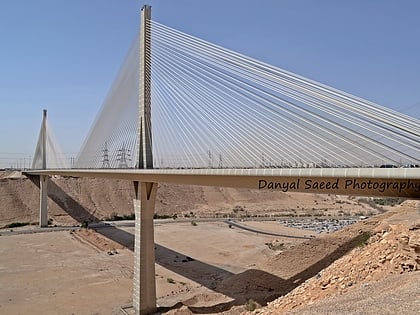
Among other places and attractions worth visiting in the area are: Wadi Leban Bridge (bridge, 133 min walk), Jabrah (neighbourhood, 164 min walk), Imam Turki bin Abdullah Mosque (mosque, 174 min walk).
Coordinates: 24°33'31"N, 46°38'13"E
Day trips
Salaam Mall slam mwl – popular in the area (distance from the attraction)
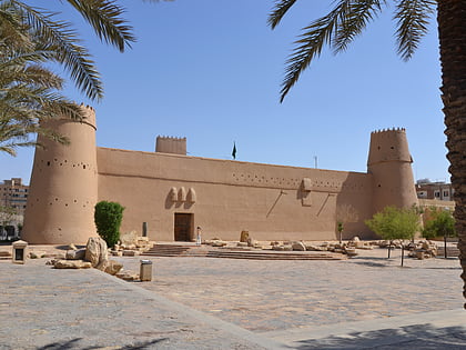
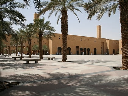
Nearby attractions include: Masmak Fort, Imam Turki bin Abdullah Mosque, Deera Square, Wadi Leban Bridge.

