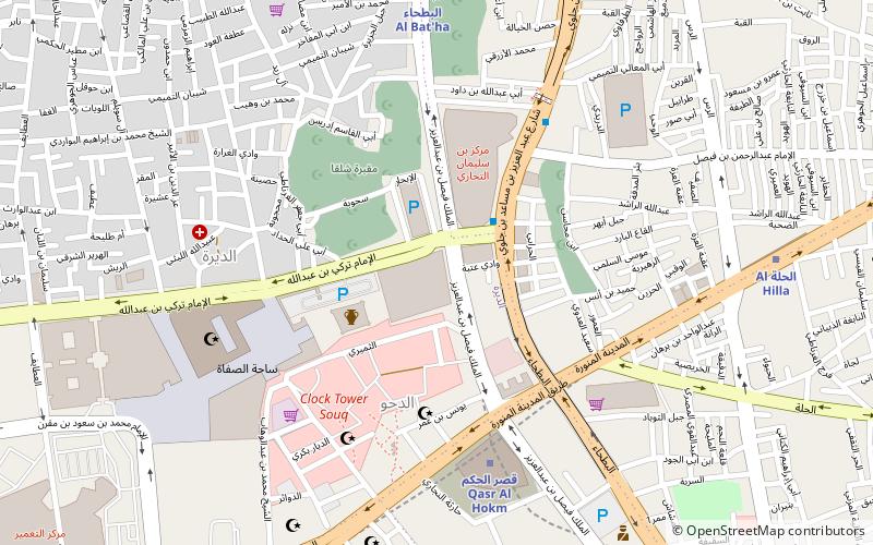
Al Bathaa, Riyadh
Map
Facts and practical information
Al-Bateha is a subject of Baladiyah al-Batha and one of the oldest neighborhoods in southern Riyadh, Saudi Arabia, located between Jabrah and Manfuhah al-Jadidah. ()
Coordinates: 24°37'11"N, 46°43'27"E
Address
البطحاء (منفوحة الجديدة)Riyadh
ContactAdd
Social media
Add
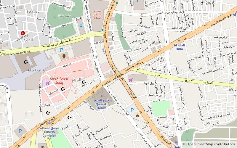
Getting there by public transportation
Public transportation stops near this location
- Metro
 Metro
Metro
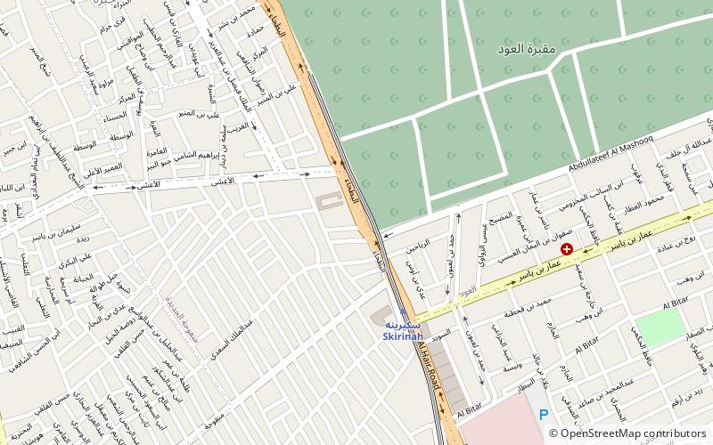
- Calculate routeSkirinah 4 min walk
- Calculate routeAl Owd 12 min walk
- Calculate routeManfouhah 18 min walk
- Calculate routeQasr al Hokm 21 min walk
Day trips

Frequently Asked Questions (FAQ)
Which popular attractions are close to Al Bathaa?
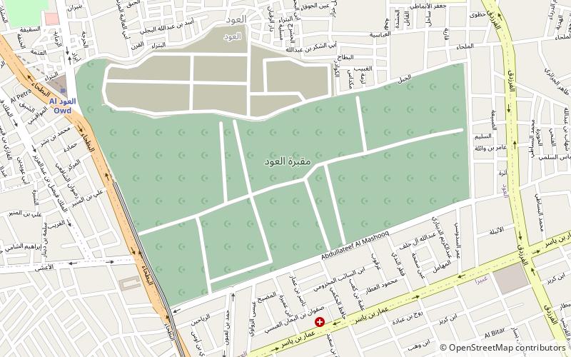
Nearby attractions include Al Oud cemetery, Riyadh (9 min walk), Jabrah, Riyadh (14 min walk), Al Batha, Riyadh (22 min walk).
How to get to Al Bathaa by public transport?
The nearest stations to Al Bathaa:
Metro
Metro
- Skirinah • Lines: 1 (4 min walk)
- Al Owd (12 min walk)