Jablanik

Gallery (9)
Map

Map

Gallery
Facts and practical information
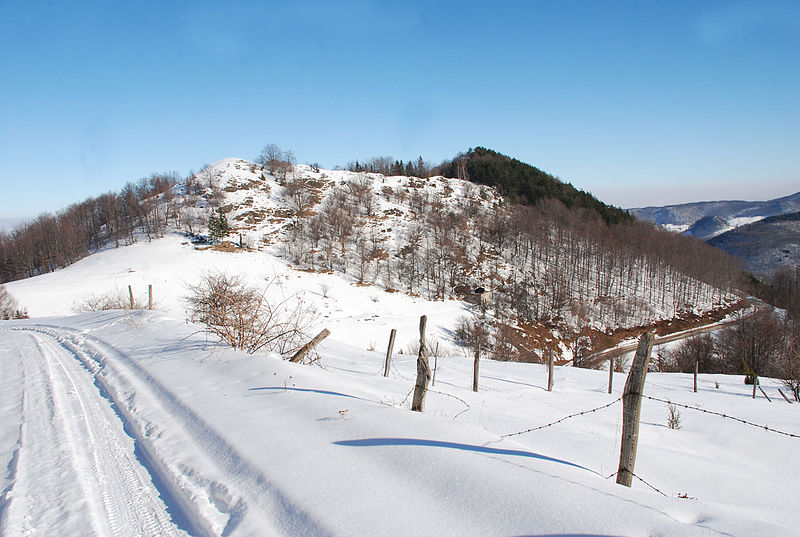
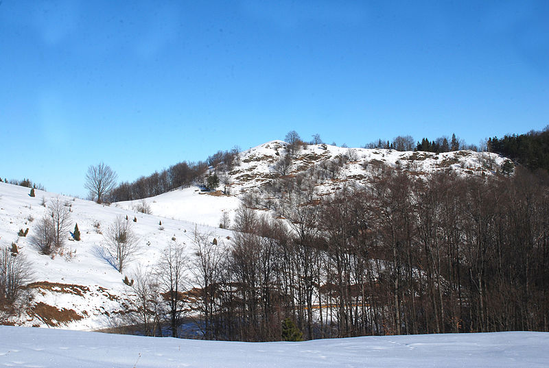
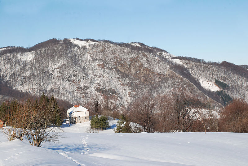
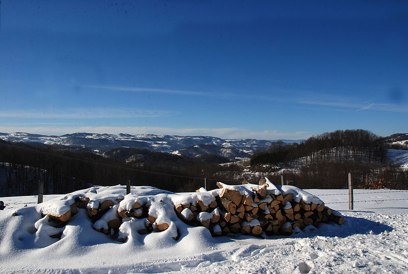
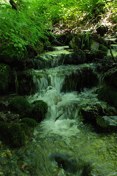
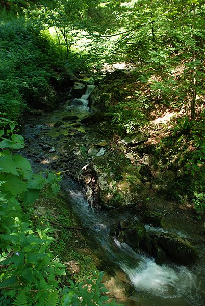
Jablanik is a mountain in western Serbia, near the town of Valjevo. Its highest peak Jablanik has an elevation of 1,275 meters above sea level. ()
Local name: ЈабланикElevation: 4183 ftCoordinates: 44°10'35"N, 19°40'0"E
Location
Kolubarski
ContactAdd
Social media
Add
Day trips


