Debelo Brdo

Gallery (1)
Map
Map
Facts and practical information
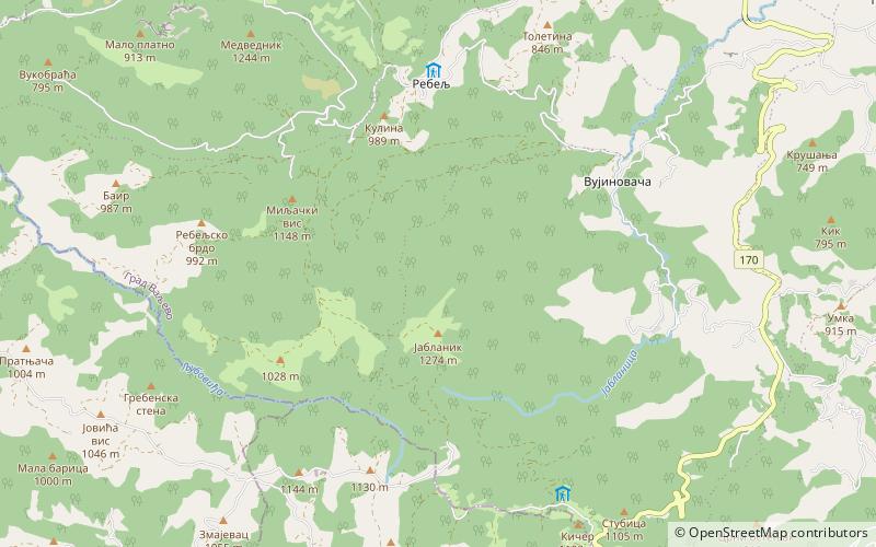
Debelo Brdo is a mountain pass on mountain Povlen in western Serbia, near the city of Valjevo. Its highest part Vinčine vode has an elevation of 1,094 m above sea level. Through Debelo brdo passes main road of the first state order, which connects Belgrade with Bosnia and Herzegovina. ()
Local name: Дебело брдоElevation: 3589 ftCoordinates: 44°10'59"N, 19°40'0"E
Location
Kolubarski
ContactAdd
Social media
Add
Day trips


