Bobija

Gallery (1)
Map
Map
Facts and practical information
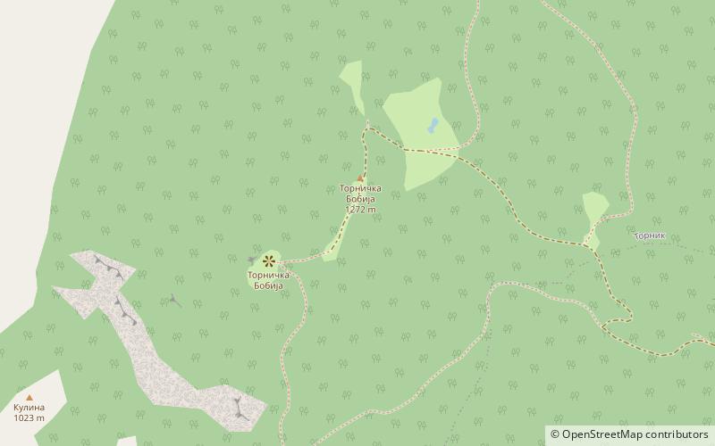
Bobija is a mountain in western Serbia, near the town of Ljubovija. Its highest peak, Tornička Bobija, has an elevation of 1,272 m above sea level. ()
Local name: БобијаElevation: 4173 ftCoordinates: 44°11'46"N, 19°33'16"E
Location
Mačvanski
ContactAdd
Social media
Add
Day trips


