Church of Divine Mercy

Map
Facts and practical information
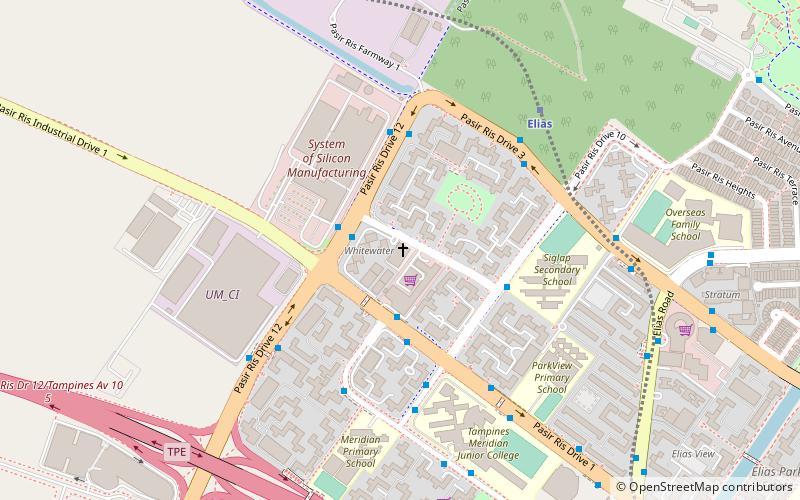
Pasir Ris is a planning area and residential town located in the East Region of Singapore. It is bordered by Tampines and Paya Lebar to the south, Sengkang to the southwest and Changi to the east. The planning area also shares riverine boundary with Punggol to the west, separated by the Serangoon River, as well as having a maritime boundary with the North-Eastern Islands planning area, across the Straits of Johor. ()
Coordinates: 1°22'49"N, 103°56'10"E
Day trips
Church of Divine Mercy – popular in the area (distance from the attraction)
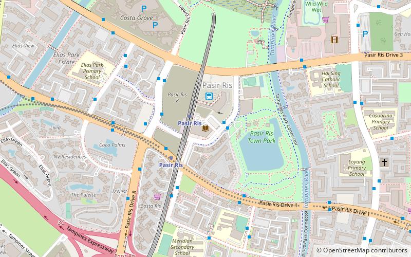
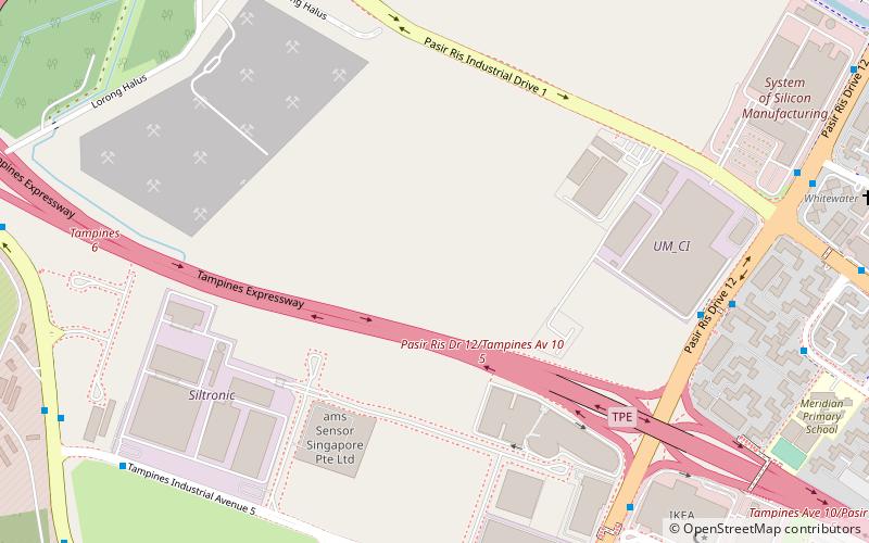
Nearby attractions include: White Sands, Pasir Ris Park, Pasir Ris Public Library, Lorong Halus.


