Lorong Halus, Singapore/East Coast
Map
Facts and practical information
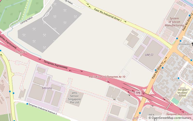
Lorong Halus is an area in Pasir Ris surrounding a road of the same name. The road leads to industrial buildings and farms in Pasir Ris Farmway. It starts from the Tampines Expressway and ends at a pier. There is a road from Lorong Halus that leads to the Lorong Halus Wetland. The wetland treats the water flowing through it, which was a former landfill. ()
Coordinates: 1°22'44"N, 103°55'39"E
Address
East Region (Pasir Ris)Singapore/East Coast
ContactAdd
Social media
Add
Day trips
Lorong Halus – popular in the area (distance from the attraction)
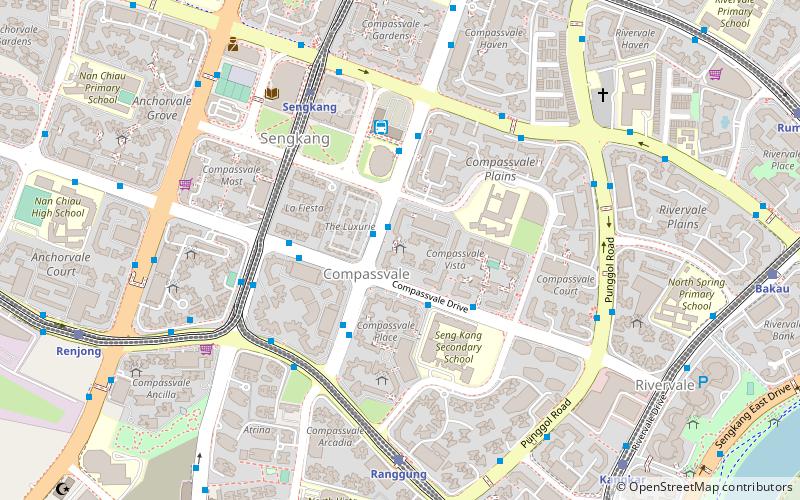
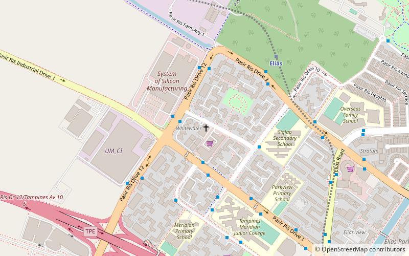
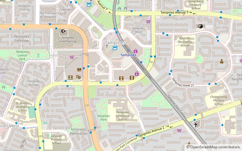
Nearby attractions include: White Sands, Tampines Mall, Punggol Plaza, Tampines 1.
Frequently Asked Questions (FAQ)
How to get to Lorong Halus by public transport?
The nearest stations to Lorong Halus:
Bus
Train
Bus
- After Tampines Expressway • Lines: 109, 118, 118A, 168, 27, 27A, 3, 34, 34A, 34B, 53, 58, 58B, 68, 81, 88, 89, 89A (11 min walk)
- T5@Tampines • Lines: 127 (11 min walk)
Train
- Riviera (35 min walk)
- Coral Edge (38 min walk)
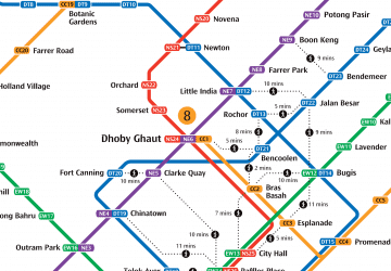 Metro
Metro


