Choa Chu Kang
Map
Map

Facts and practical information
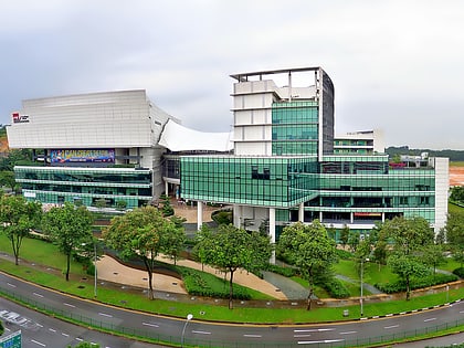
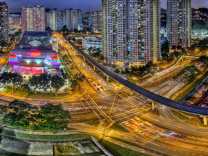
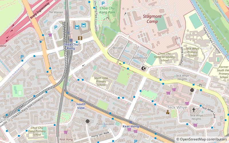
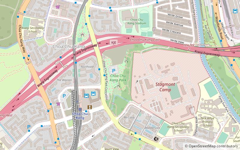
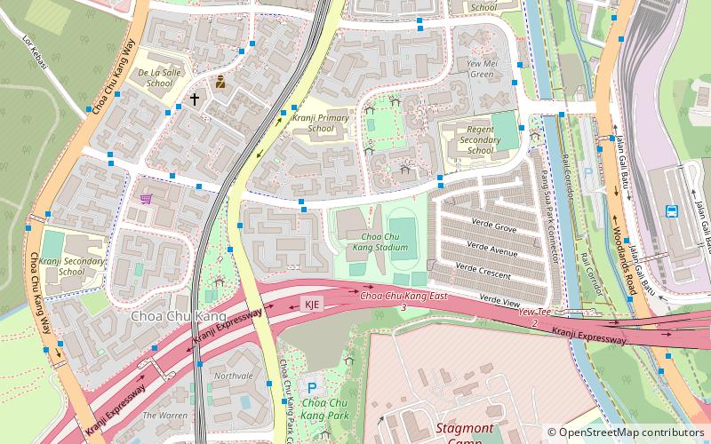
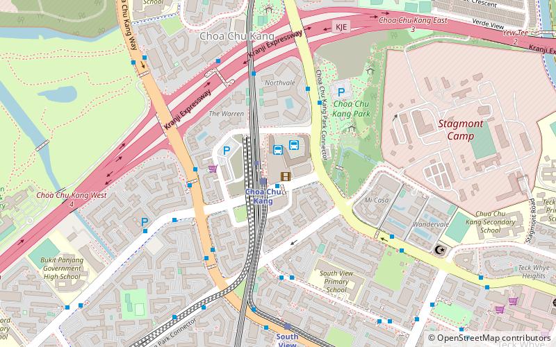
Choa Chu Kang, alternatively spelt as Chua Chu Kang and often abbreviated as CCK, is a planning area and residential town located at the north-westernmost point of the West Region of Singapore. The town shares borders with Sungei Kadut to the north, Tengah to the southwest, Bukit Batok to the southeast, Bukit Panjang to the east and the Western Water Catchment to the west. Choa Chu Kang New Town is separated into two portions by the Kranji Expressway. ()
Location
West
ContactAdd
Social media
Add
Day trips
Choa Chu Kang – popular in the area (distance from the attraction)
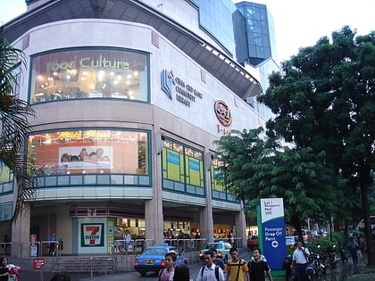
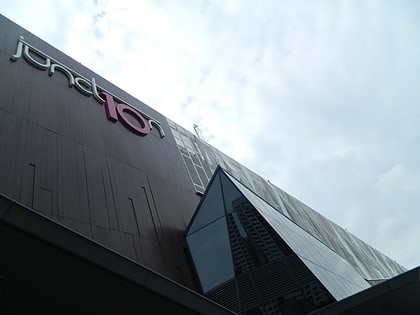
Nearby attractions include: Bukit Panjang, Lot One Shoppers’ Mall, Junction 10, Masjid Al-Khair.
