Bukit Panjang
Map
Gallery
Facts and practical information
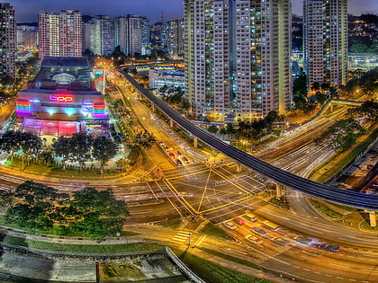
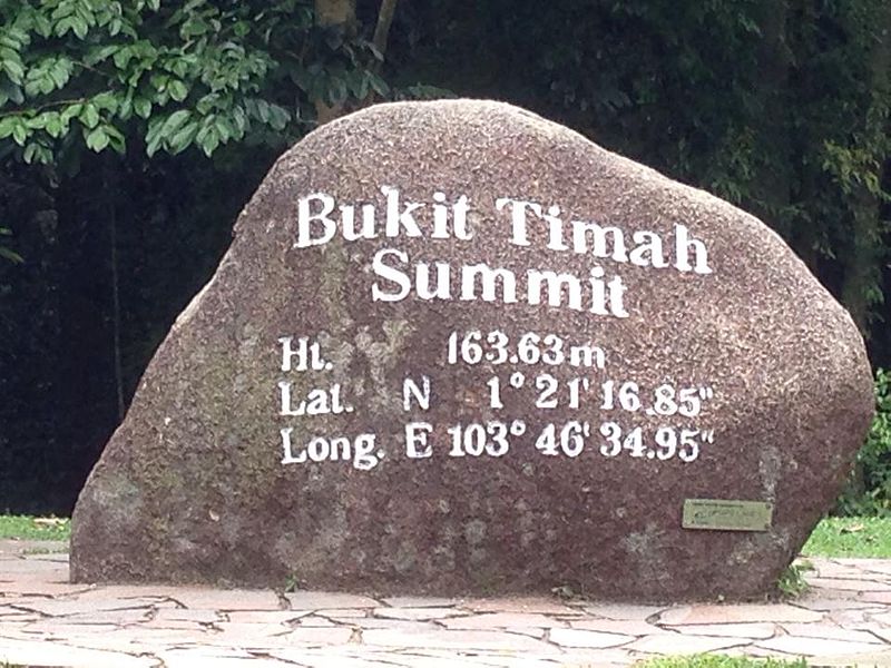
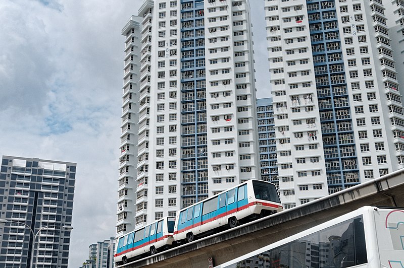
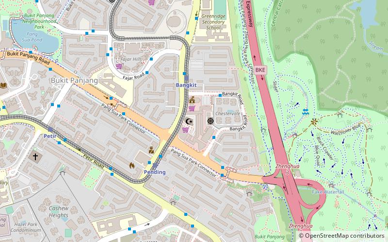
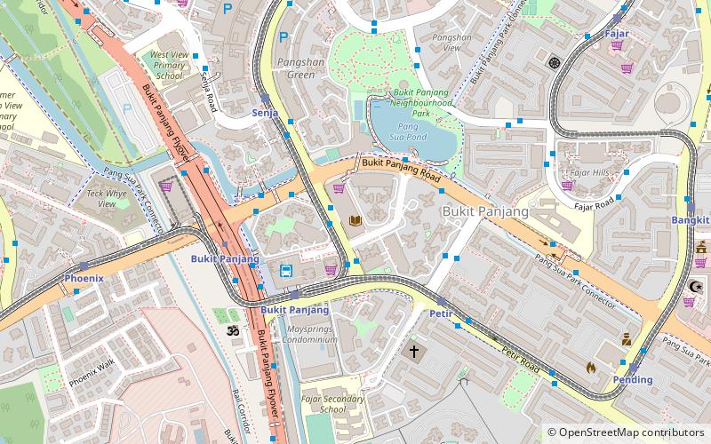
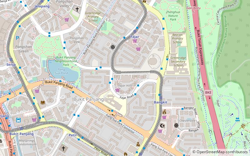
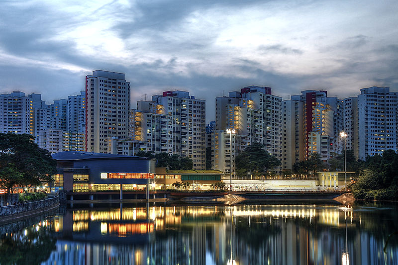
Bukit Panjang, often abbreviated as Bt Panjang, is a planning area and residential town located in the West Region of Singapore. A portion of this town is situated on a low-lying elongated hill. The planning area is bounded by Bukit Batok to the west, Choa Chu Kang to the northwest, Sungei Kadut to the north, the Central Water Catchment to the east and Bukit Timah to the south. Bukit Panjang New Town is located at the northern portion of the planning area. Bukit Panjang has an average elevation of 36m/118 ft. ()
Area: 3.47 mi²Coordinates: 1°22'41"N, 103°45'45"E
Location
West
ContactAdd
Social media
Add
Day trips
Bukit Panjang – popular in the area (distance from the attraction)
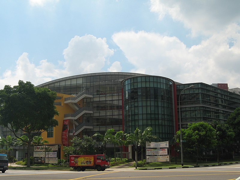
Nearby attractions include: Lot One Shoppers’ Mall, Junction 10, Masjid Al-Iman, Masjid Al-Khair.
