Siglap, Singapore/East Coast
Facts and practical information
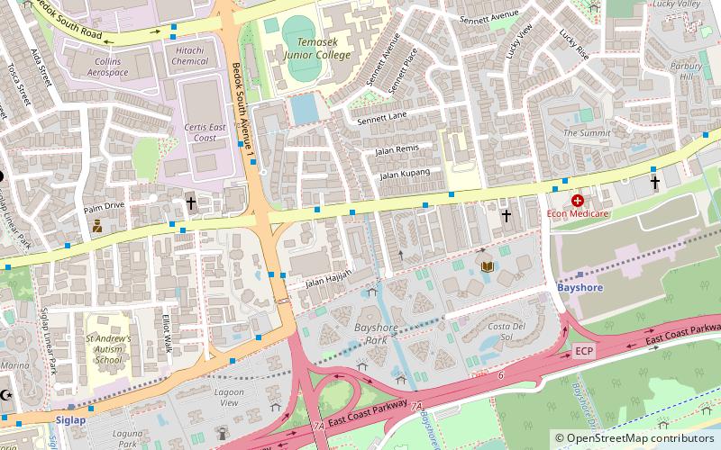
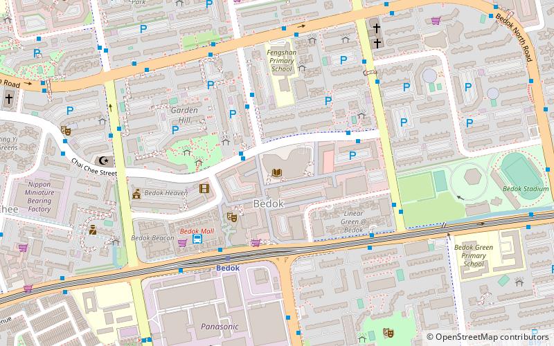
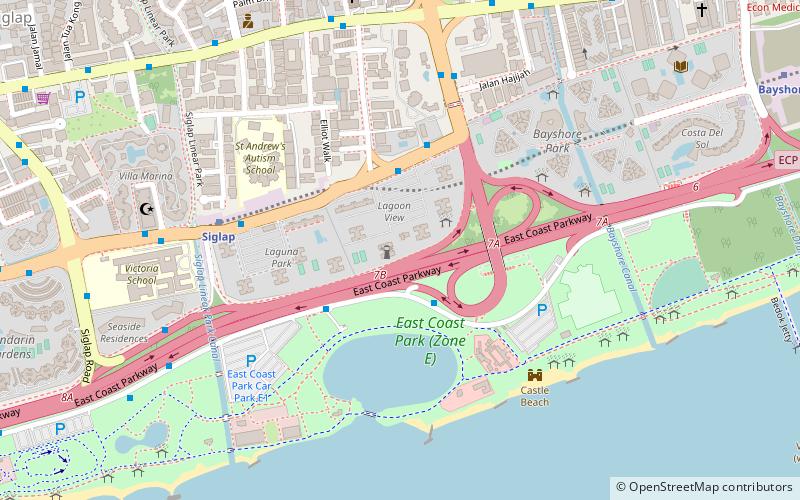
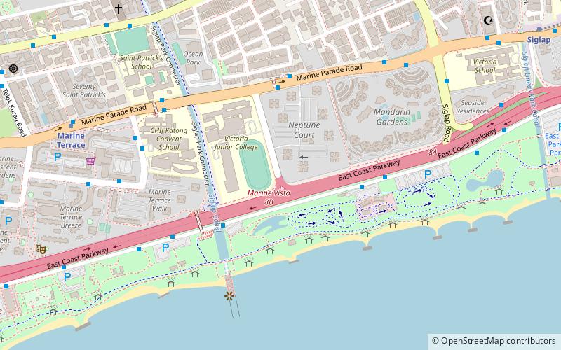
Siglap is a neighbourhood located in Bedok in the East Region of Singapore. The area also encompasses the Frankel and Opera Estates and their names have sometimes been used interchangeably to refer to the approximate same area. The planning subzone area of Siglap as defined by the Urban Redevelopment Authority is confusingly and inaccurately referred to as the small strip of land between Victoria Junior College and Bedok South Avenue 1. It is a residential area where a majority live in landed homes such as freehold semi-detached houses and bungalows. Some of the land parcels near Siglap Centre have been redeveloped into serviced apartments and condominiums. The few Housing and Development Board flats in Siglap have been demolished in 2015 under the Selective En bloc Redevelopment Scheme. The East Coast Park is also located nearby, across the East Coast Parkway. ()
East Region (Bedok)Singapore/East Coast
- Metro
- Bus
 Metro
Metro
- Calculate routeOpposite Evergreen Avenue 1 min walk
- Calculate routeEvergreen Garden 2 min walk
- Calculate routeAfter Sennet Road 3 min walk
- Calculate routeOpposite Eastern Lagoon II 4 min walk
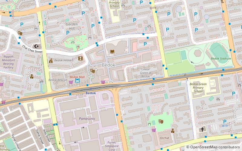
- Calculate routeBedok 21 min walk
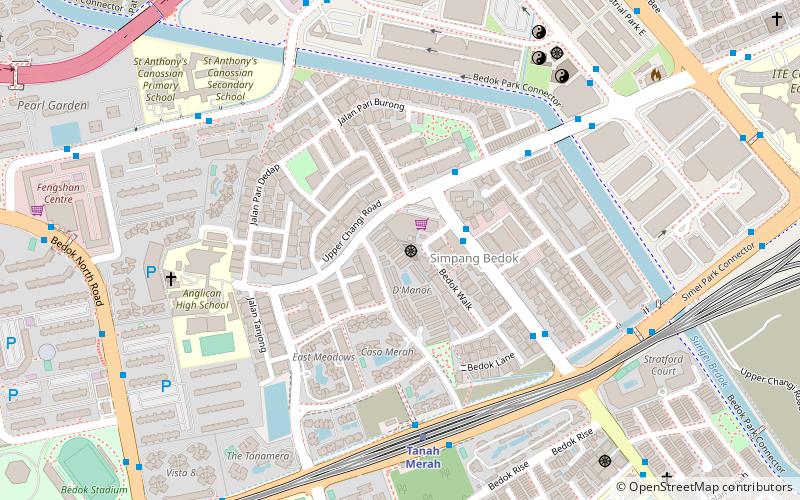
- Calculate routeTanah Merah 30 min walk
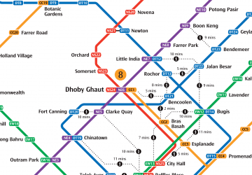 Metro
Metro


Frequently Asked Questions (FAQ)
Which popular attractions are close to Siglap?
How to get to Siglap by public transport?
Bus
- Opposite Evergreen Avenue • Lines: 10, 10e, 13, 137, 14, 14A, 14e, 43, 48, 55, 853M (1 min walk)
- Evergreen Garden • Lines: 10, 10e, 13, 137, 14, 14e, 43, 48, 55, 853M (2 min walk)
Metro
- Bedok • Lines: Ewl (21 min walk)
- Tanah Merah • Lines: Ewl, Tel (30 min walk)