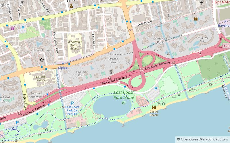
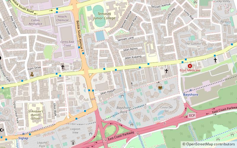
East Coast Parkway, Singapore/East Coast
Map
Facts and practical information
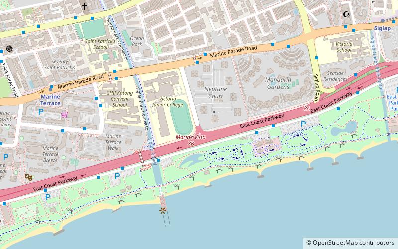
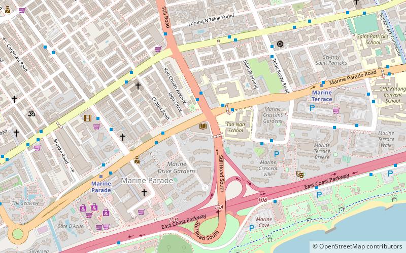
The East Coast Parkway is an expressway that runs along the southeastern coast of Singapore. The expressway is approximately 20 kilometres in length, and connects Singapore Changi Airport, in the east, to the Benjamin Sheares Bridge, in the south of the main island. It also connects to the Marina Coastal Expressway and has an interchange with the Pan Island Expressway at the Changi Flyover, about 1 kilometre from the eastern end of the expressway. ()
Address
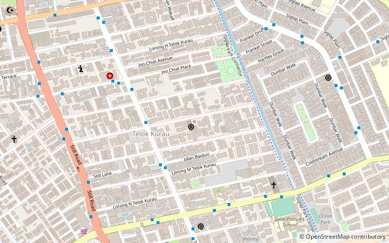
East Region (Bedok)Singapore/East Coast
ContactAdd
Social media
Add
Getting there by public transportation
Public transportation stops near this location
- Metro
- Bus
 Metro
Metro
- Calculate routeOpposite Victoria Junior College 5 min walk
- Calculate routeCarpark D3 5 min walk
- Calculate routeNeptune Court 5 min walk
- Calculate routeOpposite Neptune Court 6 min walk
- Calculate routeKembangan 32 min walk
Maps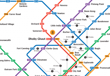 Metro
Metro
MetroDay trips


Frequently Asked Questions (FAQ)
Which popular attractions are close to East Coast Parkway?
Nearby attractions include East Coast Park (7 min walk), Marine Parade Public Library, Singapore/East Coast (21 min walk), Masjid Abdul Aleem Siddique, Singapore/East Coast (21 min walk), Marine Parade Community Building, Singapore/East Coast (21 min walk).
How to get to East Coast Parkway by public transport?
The nearest stations to East Coast Parkway:
Bus
Metro
Bus
- Opposite Victoria Junior College • Lines: 401 (5 min walk)
- Carpark D3 • Lines: 401 (5 min walk)
Metro
- Kembangan • Lines: Ewl (32 min walk)