Katong Park, Singapore/East Coast
Map
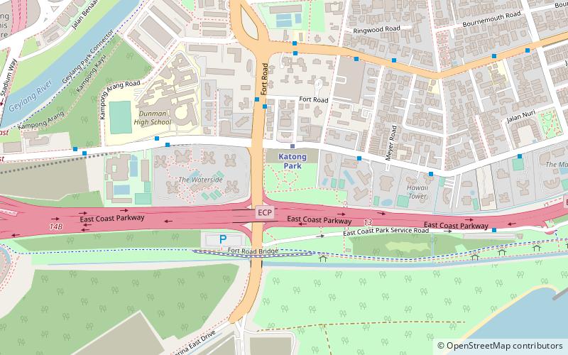
Map

Facts and practical information
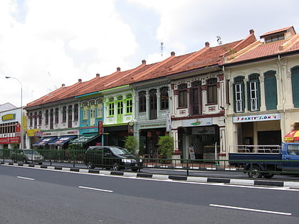
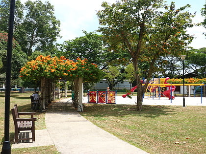
Katong Park is neighborhood park located in Katong, Singapore at the junction of Meyer Road and Fort Road. Built in the 1930s above the buried remains of Fort Tanjong Katong, it was one of Singapore’s oldest parks with the first public bathing pagar and was highly popular with families during the weekends. After the coastal reclamation works in the 1970s, the park lost its sea frontage and declined greatly in popularity. It now remains as a small community park serving nearby residents. ()
Elevation: 36 ft a.s.l.Coordinates: 1°17'49"N, 103°53'10"E
Address
Central Region (Marine Parade)Singapore/East Coast
ContactAdd
Social media
Add
Day trips
Katong Park – popular in the area (distance from the attraction)
Nearby attractions include: Marina Barrage, National Stadium, Katong Shopping Centre, Kallang Wave Mall.
Frequently Asked Questions (FAQ)
Which popular attractions are close to Katong Park?
Nearby attractions include Fort Tanjong Katong (2 min walk), Kallang Theatre, Singapore/East Coast (21 min walk).
How to get to Katong Park by public transport?
The nearest stations to Katong Park:
Bus
Metro
Bus
- Opposite Fort Gardens • Lines: 158, 158A, 30, 30e, 401 (4 min walk)
- Fort Gardens • Lines: 158, 158A, 30, 30e (5 min walk)
Metro
- Mountbatten • Lines: Ccl (18 min walk)
- Dakota • Lines: Ccl (22 min walk)
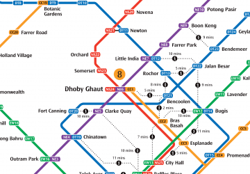 Metro
Metro


