Katong, Singapore/East Coast
Map
Map

Facts and practical information
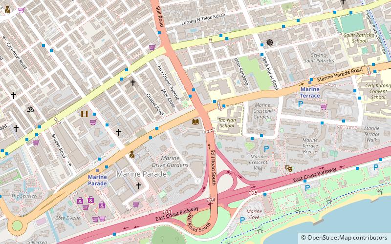
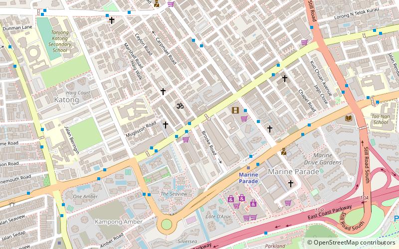
Katong, also known as Tanjong Katong, is a residential neighbourhood in the eastern portion of the Central Region of Singapore, within Marine Parade planning area. It used to be located by the sea, but land has been reclaimed all the way to East Coast Park to provide more land for housing and recreational purposes due to the shortage of land in the late 1960s after Singapore gained independence. ()
Coordinates: 1°18'17"N, 103°54'12"E
Address
Central Region (Marine Parade)Singapore/East Coast
ContactAdd
Social media
Add
Day trips
Katong – popular in the area (distance from the attraction)
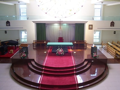
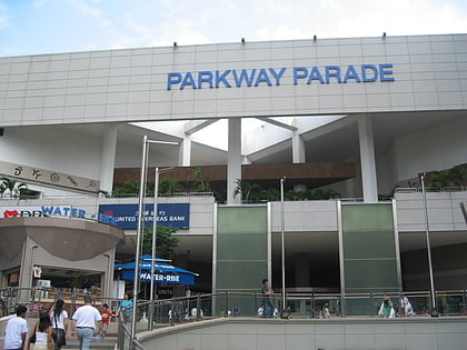
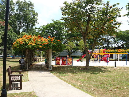
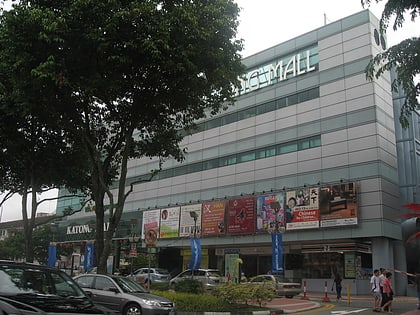
Nearby attractions include: Church of the Holy Family, Parkway Parade, Katong Park, I12 Katong.
Frequently Asked Questions (FAQ)
Which popular attractions are close to Katong?
Nearby attractions include Sri Senpaga Vinayagar Temple (2 min walk), Cornerstone Community Church (3 min walk), Church of the Holy Family (8 min walk), Marine Parade Community Building, Singapore/East Coast (11 min walk).
How to get to Katong by public transport?
The nearest stations to Katong:
Bus
Metro
Bus
- Opposite Roxy Square • Lines: 10, 10e, 12, 14, 14e, 32, 40, 47 (1 min walk)
- Roxy Square • Lines: 10, 10e, 12, 14, 14A, 14e, 32, 40 (2 min walk)
Metro
- Dakota • Lines: Ccl (26 min walk)
- Eunos • Lines: Ewl (27 min walk)
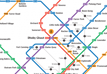 Metro
Metro