Chin Swee Tunnel, Central Area

Map
Facts and practical information
The Central Expressway in Singapore is the major highway connecting the city centre of Singapore with the northern residential parts of the island, including Toa Payoh, Bishan and Ang Mo Kio and further onwards to the Seletar Expressway and the Tampines Expressway. ()
Address
Central Region (River Valley)Central Area
ContactAdd
Social media
Add
Day trips
Chin Swee Tunnel – popular in the area (distance from the attraction)
Nearby attractions include: National Museum of Singapore, Plaza Singapura, Liang Court, Fort Canning.
Frequently Asked Questions (FAQ)
Which popular attractions are close to Chin Swee Tunnel?
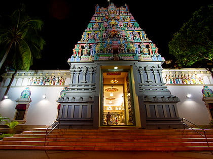
Nearby attractions include Sri Thendayuthapani Temple (2 min walk), Hong San See (3 min walk), Church of the Sacred Heart (5 min walk), Chesed-El Synagogue (6 min walk).
How to get to Chin Swee Tunnel by public transport?
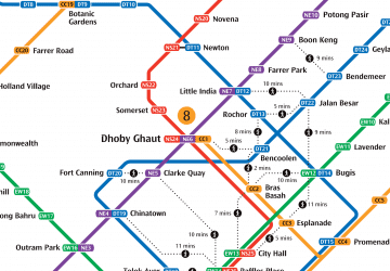
The nearest stations to Chin Swee Tunnel:
Bus
Metro
Bus
- Opposite Mohd Sultan Road • Lines: 139, 195, 32, 54 (2 min walk)
- UE Square/Before Mohd Sultan Road • Lines: 139, 195, 195A, 1N, 2N, 32, 3N, 4N, 54, 5N, 6N, Nr1, Nr2, Nr3, Nr5, Nr6, Nr8 (3 min walk)
Metro
- Fort Canning • Lines: Dtl (6 min walk)
- Dhoby Ghaut • Lines: Ccl, Nel, Nsl (11 min walk)
 Metro
Metro

