Tanjong Pagar Park, Central Area

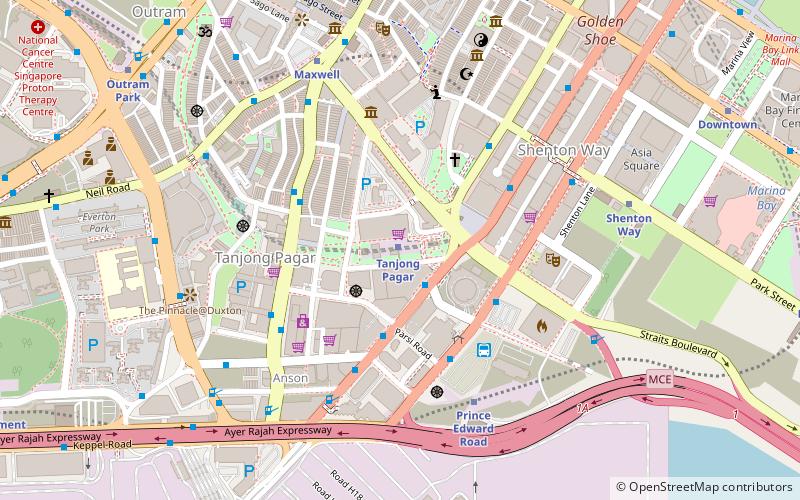
Map
Facts and practical information
Tanjong Pagar Park, formerly known as Tanjong Pagar RICOH Park, is an urban park situated around the Guoco Tower in Singapore. The entire complex is located above Tanjong Pagar MRT station. ()
Elevation: 98 ft a.s.l.Coordinates: 1°16'36"N, 103°50'45"E
Address
Central Region (Downtown Core)Central Area
ContactAdd
Social media
Add
Day trips
Tanjong Pagar Park – popular in the area (distance from the attraction)
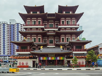
Nearby attractions include: Buddha Tooth Relic Temple and Museum, Singapore City Gallery, Sri Mariamman Temple, People's Park Complex.
Frequently Asked Questions (FAQ)
Which popular attractions are close to Tanjong Pagar Park?
Nearby attractions include Springleaf Tower (3 min walk), OUE Downtown (4 min walk), Telok Ayer Chinese Methodist Church (4 min walk), Icon Loft (5 min walk).
How to get to Tanjong Pagar Park by public transport?
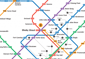
The nearest stations to Tanjong Pagar Park:
Metro
Bus
Metro
- Tanjong Pagar • Lines: Ewl (1 min walk)
- Prince Edward Road • Lines: Ccl (7 min walk)
Bus
- Tanjong Pagar Station Exit C • Lines: 131, 167, 186, 400, 57, 761, 970, 971 (2 min walk)
- Mapletree Anson • Lines: 651, 652, 653, 654, 655, 656, 657, 660, 661, 662, 663, 665, 666, 667, 668, 670, 671, 672 (4 min walk)
 Metro
Metro


