Oasis Terraces, Singapore/East Coast
Map

Gallery

Facts and practical information
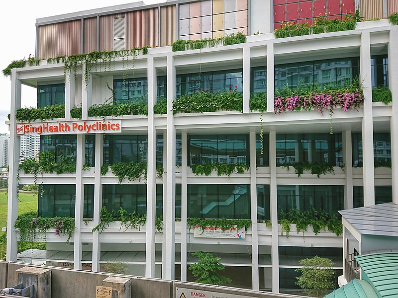
Oasis Terraces is an integrated development located in Punggol, Singapore, next to Oasis LRT station. Developed by the Housing and Development Board, the development was built as part of a new generation of neighbourhood centres, housing the Punggol Polyclinic, a retail component with restaurants and shops, a community plaza and a rooftop community garden. ()
Coordinates: 1°24'10"N, 103°54'47"E
Address
Northeast Region (Punggol)Singapore/East Coast
ContactAdd
Social media
Add
Day trips
Oasis Terraces – popular in the area (distance from the attraction)
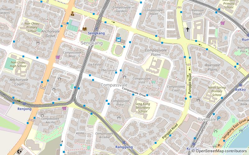
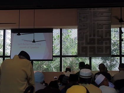
Nearby attractions include: Punggol Plaza, Compassvale, Sengkang Sculpture Park, Masjid Al Islah.
Frequently Asked Questions (FAQ)
Which popular attractions are close to Oasis Terraces?
Nearby attractions include Coney Island (21 min walk), Punggol Watertown (22 min walk).
How to get to Oasis Terraces by public transport?
The nearest stations to Oasis Terraces:
Bus
Train
Metro
Bus
- Oasis Station Exit A • Lines: 386, 386A, 50, 666 (1 min walk)
- Oasis Station Exit B/Blk 617D • Lines: 386, 50, 666 (2 min walk)
Train
- Oasis (2 min walk)
- Kadaloor (9 min walk)
Metro
- Punggol • Lines: Nel (20 min walk)

 Metro
Metro


