Punggol Waterway Park
Map

Map

Facts and practical information
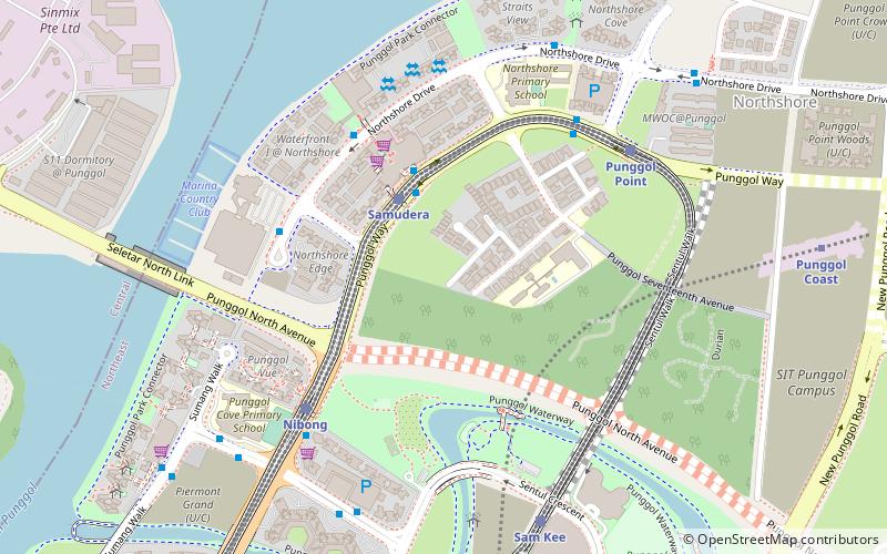
Punggol Waterway Park is a 12.25 hectares riverine park located in Punggol, Singapore, along Sentul Crescent. The park consists of four themed areas. Each area is designated to cater to different users of the park. ()
Opened: 2011 (15 years ago)Elevation: 36 ft a.s.l.Coordinates: 1°24'52"N, 103°54'11"E
Location
10 Sentul Crescent RoadSingapore 828851 North-East
Contact
+65 1800 471 7300
Social media
Add
Day trips
Punggol Waterway Park – popular in the area (distance from the attraction)
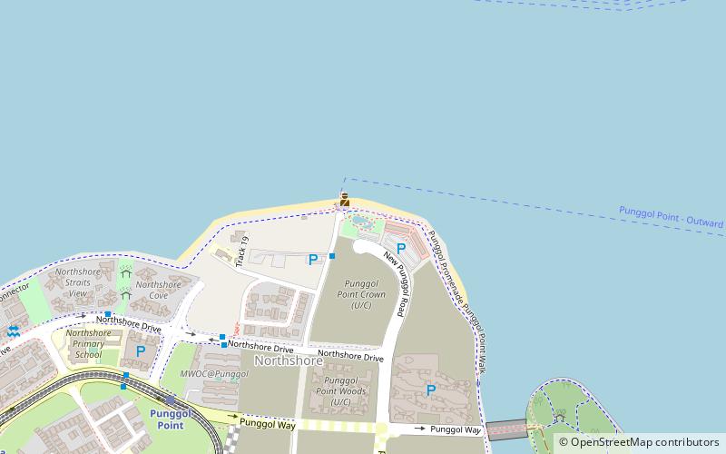
Nearby attractions include: Punggol Point Park, Masjid Al Islah, Oasis Terraces, Waterway Point.


