Former Queen's Theatre, Singapore/East Coast
Map
Facts and practical information
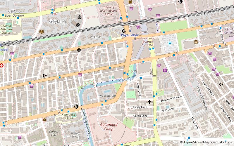
The Former Queen's Theatre is located at the Geylang Road, opposite Lorong 41 road. The theatre had been one of the main entertainment places in Geylang from 1930 to 1982. The building was named Wembley Cinema from 1930 to 1933, Ritz Cinema from 1933 to 1939, and Queen's Theatre from 1939 until it was closed in 1982. The front facade of the building is now conserved and becomes part of the GrandLink Square. ()
Coordinates: 1°18'52"N, 103°53'29"E
Address
Central Region (Geylang)Singapore/East Coast
ContactAdd
Social media
Add
Getting there by public transportation
Public transportation stops near this location
- Metro
- Bus
 Metro
Metro
- Calculate routeGrandlink Square 1 min walk
- Calculate routeOpposite Lorong 39 Geylang 2 min walk
- Calculate routeOpposite Grandlink Square 2 min walk
- Calculate routeOpposite City Plaza 4 min walk
- Calculate routePaya Lebar 7 min walk
- Calculate routeDakota 12 min walk
- Calculate routeAljunied 16 min walk
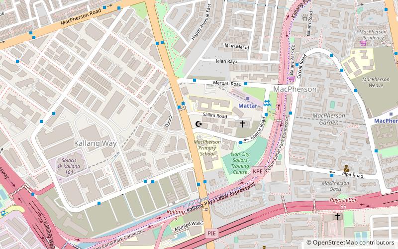
- Calculate routeMacPherson 21 min walk
Maps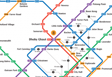 Metro
Metro
MetroDay trips


Frequently Asked Questions (FAQ)
Which popular attractions are close to Former Queen's Theatre?
Nearby attractions include Sri Sivan Temple (9 min walk), Foo Hai Ch'an Monastery (9 min walk), Geylang East Public Library, Singapore/East Coast (12 min walk), Cheng Beng Buddhist Society (12 min walk).
How to get to Former Queen's Theatre by public transport?
The nearest stations to Former Queen's Theatre:
Bus
Metro
Bus
- Grandlink Square • Lines: 197, 7, 70, 70M (1 min walk)
- Opposite Lorong 39 Geylang • Lines: 13, 137, 2, 21, 26, 40, 51, 67, 853M (2 min walk)
Metro
- Paya Lebar • Lines: Ccl, Ewl (7 min walk)
- Dakota • Lines: Ccl (12 min walk)