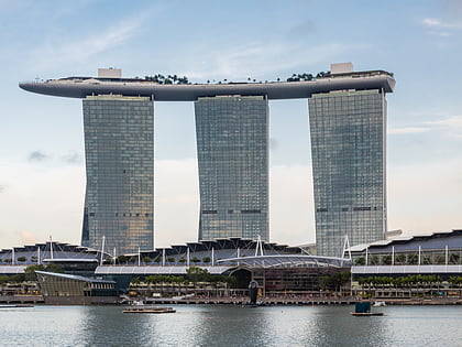
Marina Channel, Singapore/East Coast
Map
Map

Facts and practical information
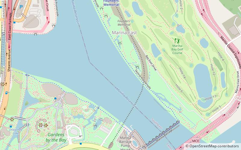
Marina Channel is a waterway in southern Singapore that connects the Kallang Basin in the north and Marina Bay in the west to the Singapore Straits in the south. Formed as a result of land reclamation in the 1980s, the Marina Channel effectively shifted Singapore's southern coastline further southwards from the Kallang Basin area. Marina Channel serves to separate Marina East and Kallang in the east from Marina South in the west. Both sides are connected by Singapore's tallest bridge, the Benjamin Sheares Bridge. ()
Coordinates: 1°17'8"N, 103°52'10"E
Address
Singapore/East Coast
ContactAdd
Social media
Add
Day trips
Marina Channel – popular in the area (distance from the attraction)
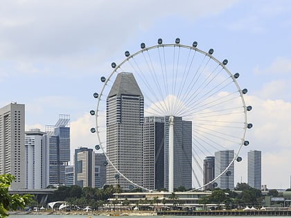
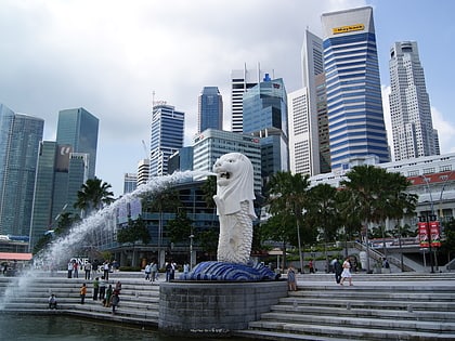
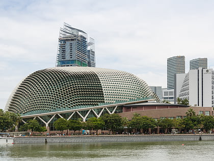
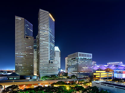
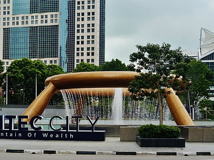
Nearby attractions include: Singapore Flyer, Merlion, Esplanade - Theatres on the Bay, Suntec City.
Frequently Asked Questions (FAQ)
Which popular attractions are close to Marina Channel?
Nearby attractions include Marina City Park (7 min walk), Marina Barrage (10 min walk), Founders' Memorial, Singapore/East Coast (11 min walk), Gardens by the Bay (12 min walk).
How to get to Marina Channel by public transport?
The nearest stations to Marina Channel:
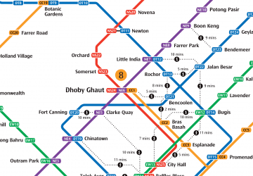
Metro
Bus
Metro
- Founders' Memorial • Lines: Tel (10 min walk)
- Bayfront • Lines: Ccl, Dtl (18 min walk)
Bus
- Gardens by the Bay • Lines: 400 (10 min walk)
- Marina Barrage • Lines: 400 (10 min walk)

 Metro
Metro