Malá Fatra, Malá Fatra National Park
#4 among attractions in Malá Fatra National Park
![blank map](https://tzassets.b-cdn.net/static/img/blank-map-colors-sm.png)
![Malá Fatra, Malá Fatra National Park](https://tzmedia.b-cdn.net/media/images/sk/place/gallery/medium/3bbb3e5a7b59eef7e4a586bf901e0e08.jpg)
Facts and practical information
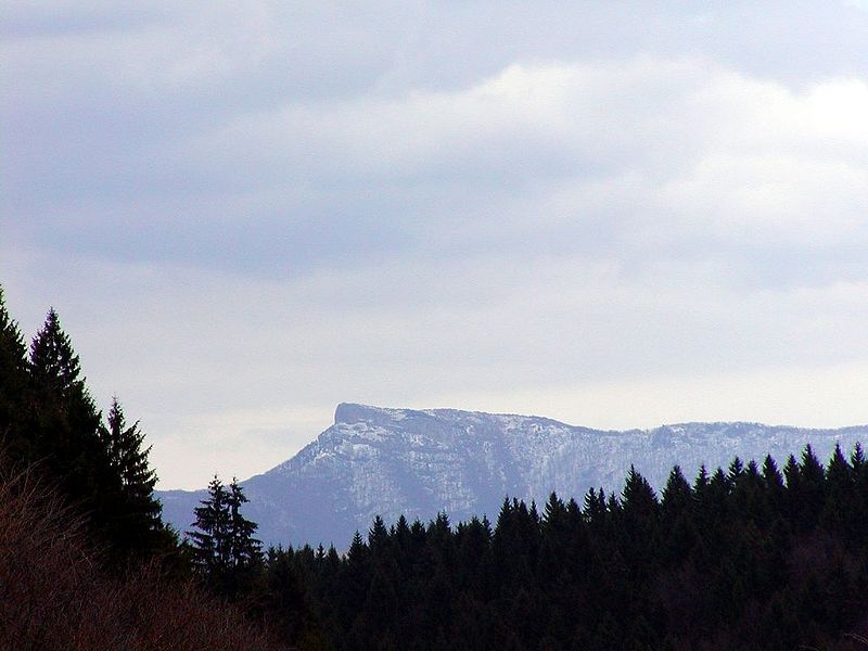
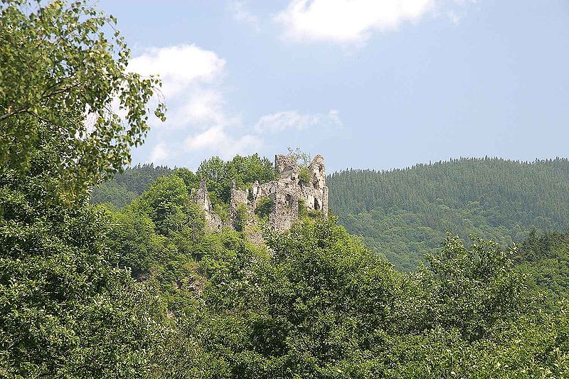
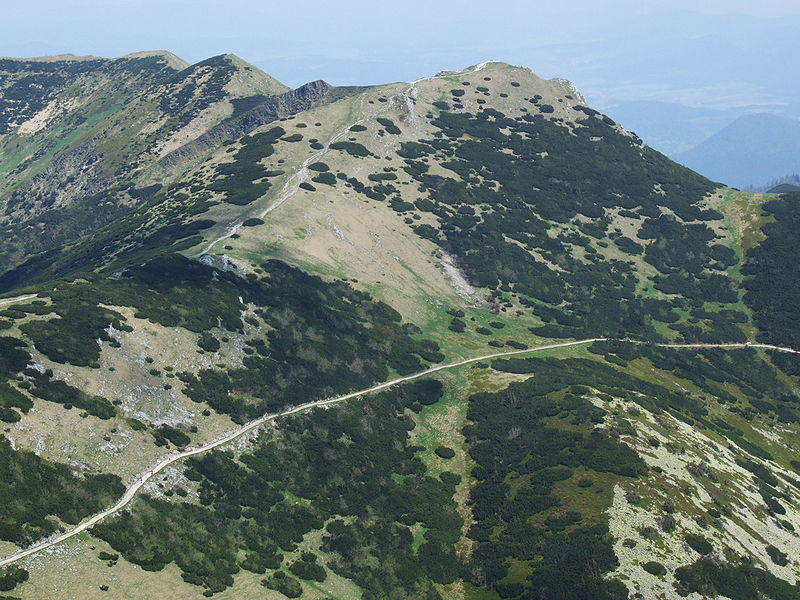
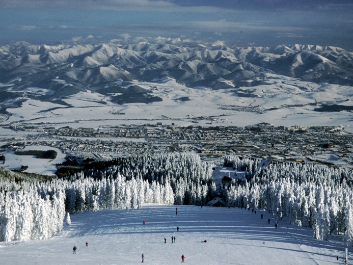
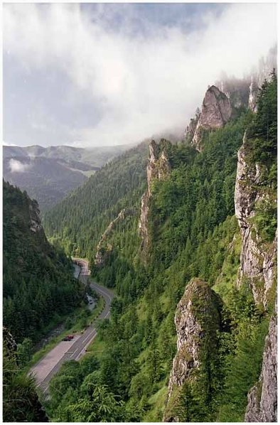
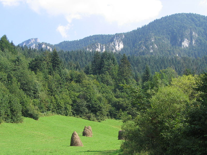
Malá Fatra is a mountain range in the Western Carpathians in the north-west of Central Slovakia. In the geomorphological system, it is a part of the Fatra-Tatra Area. ()
Malá Fatra National Park Slovakia
Malá Fatra – popular in the area (distance from the attraction)
Nearby attractions include: Vrátna dolina, Veľký Rozsutec, Šútovský vodopád, Veľký Kriváň.
2.7 miNWinter sport, Ski areaVrátna dolina, Terchová
70 min walk • Nestled in the heart of the Mala Fatra mountains, Vrátna dolina is a picturesque valley located in the city of Terchová, Slovakia. Renowned for its breathtaking landscapes and premier ski area, this valley is a winter sports enthusiast's paradise.
4.3 miNENatural attraction, Nature, MountainVeľký Rozsutec, Malá Fatra National Park
110 min walk • Veľký Rozsutec, a majestic peak in the heart of the Malá Fatra National Park in Slovakia, is a natural wonder that captures the essence of raw beauty and adventure. This mountain, rising to an elevation of 1,609 meters, is characterized by its distinctive limestone...
2.3 miENatural attraction, Nature, WaterfallŠútovský vodopád, Malá Fatra National Park
60 min walk • Šútovský vodopad is a waterfall in Slovakia located in the Malá Fatra mountains, 4 kilometres north of the town of Šútovo.
~120 ftSWNature, Natural attraction, View pointVeľký Kriváň, Terchová
1 min walk • Veľký Kriváň is the highest mountain in the Lesser Fatra.
2.9 miWNatural attraction, Nature, MountainStratenec, Malá Fatra National Park
75 min walk • Stratenec is 4,962 feet AMSL high mountain in the Lesser Fatra. This limestone mountain covered with dwarf-pines is situated in west part of the main crest of Krivanska Mala Fatra mountain range.
1.5 miNEMemorialsymbolický cintorín - Vrátna, Malá Fatra National Park
38 min walk • Cemetery of the Mountains victims in Little Fatra - a symbolic cemetery located in an old valley in the Mała Fatra mountain band in Slovakia. It is located at the Vrátna Tourist Center, near the lower station of the Vrátna - bread.
7 miSWTownVrútky
179 min walk • Vrútky is a town in northern Slovakia, close to the city of Martin. It lies in the historic Turiec region.
1.5 miNHiking, Alpine hutChata Vrátna, Malá Fatra National Park
39 min walk • Cottage Vrátna is a mountain cottage at the end of Vrátná dolina in Krivánska Fatra. It is located at the foot of Veľký Krivan at an altitude of 740 m above sea level. m. Directly in the cottage is the lower station of the new cable...
0.9 miSEHiking, Alpine hutChata pod Chlebom, Malá Fatra National Park
24 min walk • Chata under bread - a mountain shelter in Mała Fatra, Slovakia. He is the highest mountain shelter in Little Fatra.
4.4 miWHiking, Trail, Alpine hutChata pod Suchým, Malá Fatra National Park
112 min walk • Chata Pod Suchým - a mountain shelter located in Mała Fatra at an altitude of about 1075 m a.s.l. Near the Suchý summit. It is located in the Little Fatra National Park and its part - the Suchý nature reserve.
2.4 miNEHiking, Restaurant, Alpine hutChata na Grúni, Malá Fatra National Park
62 min walk • Chata na Grúni - Slovak Tourist Hostel located in the side branch of the main comb of little Fatra Krivańska, which runs from the south of Grúň and through Grúň falls to the Vrátna Dolina. The shelter is located at a height of 970 m, at a large flattening of the area under the top of Grúnia.