Pachoľa, Tatra National Park


Facts and practical information
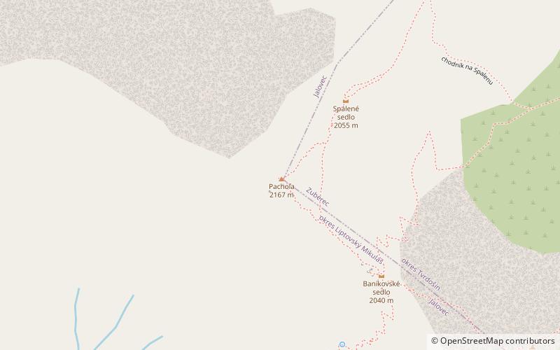
Pachoł, Pachola - a peak of 2166 m a.s.l. located within the Western Tatra Mountains. It is located in this ridge between Banówka, from which he is separated by the Banikowska Pass, and the burned kick, from which he is separated by a small burnt pass. It rises above the wild, filled with a rock -ons of the burned valley, the Parzychwost Valley and the glacial boiler of a deep sack in the Głęboka Valley. The main ridge breaks down on Pachole, it changes the direction from the southeast to the northeast. Pachoł is also a keystone. In the west direction, a short ridge departs from him, ending with the culmination of a tearful branching into two branches: southwestern Zawrat and west with a slight deviation to the south. There is a deep gully between them.
It is quite an outstanding and clearly separated pyramid -shaped peak. He has grassy and rocky slopes, downhill places. From the peak of the Pachola there is a wide panorama of the view. The northern walls of Banówka, Rohads and boxes, look particularly interesting.
The origin of the summit name is unknown. Her two variants, Pachola and Pachoł are commonly operated. While the first one uses, among others Józef Nyka, the second appears in the great encyclopedia of Tatra Zofia and Witold Henryk Paris. Patria was also used in the past. Earlier summit measurements determined its height at 2153, 2166 or 2167 m.
Tatra National Park
Pachoľa – popular in the area (distance from the attraction)
Nearby attractions include: Baníkov, Hrubá kopa, Salatín, Príslop.


