Záhorie Protected Landscape Area
Map

Gallery

Facts and practical information
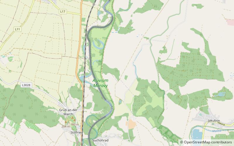
Záhorie Protected Landscape Area is the first lowland protected landscape area in Slovakia. It is located in the non-administrative Záhorie Region in West Slovakia. The Landscape Area protects 275.22 km² and is divided into two separate parts – western and north-eastern. The western part starts near the village of Kúty in the north, follows the borders between Slovakia and Austria alongside the Morava River and ends near Stupava in the south. The north-eastern part is bordered by the Military District of Záhorie in the east and south. ()
Local name: Chránená krajinná oblasť Záhorie Established: 1988 (38 years ago)Area: 10626.28 mi²Coordinates: 48°25'60"N, 16°52'0"E
Location
Bratislavský
ContactAdd
Social media
Add
