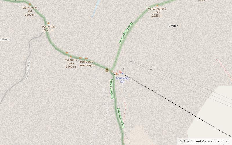
Lomnický štít peak, Tatra National Park
Map

Map

Facts and practical information
Lomnický štít is one of the highest and most visited mountain peaks in the High Tatras mountains of Slovakia. Connected by cable car to Tatranská Lomnica, its summit is 2634 metres above sea level, making it the second highest peak in the High Tatras after Gerlachovský štít. ()
Local name: Lomnický štít First ascent: 1760Elevation: 8643 ftProminence: 1424 ftCoordinates: 49°11'43"N, 20°12'47"E
Address
____ _ _______ ______Tatra National Park 06201
Contact
+421 903 112 200
Social media
Add
Day trips
Lomnický štít peak – popular in the area (distance from the attraction)
Nearby attractions include: Skalnaté pleso, Skalnaté pleso Observatory, Lomnický štít, Chata pri Zelenom Plese.
Frequently Asked Questions (FAQ)
Which popular attractions are close to Lomnický štít peak?
Nearby attractions include Veľká Vidlová veža, Tatra National Park (7 min walk), Pyšný štít, Tatra National Park (8 min walk), Kežmarský štít, Tatra National Park (11 min walk), Lomnický štít, Tatra National Park (14 min walk).


