Steenbras Upper Dam, Gordon's Bay
Map

Map

Facts and practical information
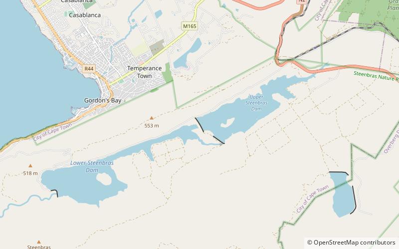
Steenbras Upper Dam is an earth-fill type dam located in the Hottentots Holland Mountains above Gordons Bay in the Western Cape, South Africa. It impounds the Steenbras River upstream of the older Steenbras Dam. The dam was constructed in 1977 for the City of Cape Town and serves mainly for municipal and industrial use. The hazard potential of the dam has been ranked high. ()
Opened: 1977 (49 years ago)Length: 3084 ftHeight: 112 ftReservoir area: 1.02 mi²Coordinates: 34°10'5"S, 18°54'7"E
Day trips
Steenbras Upper Dam – popular in the area (distance from the attraction)
Nearby attractions include: Lwandle Migrant Labour Museum, Monkey Town, Strand, Harmony Flats Nature Reserve.


