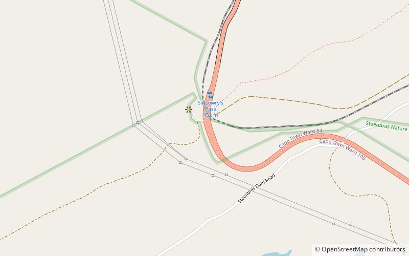
Sir Lowry's Pass

Gallery (2)
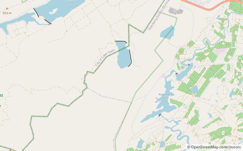
Map

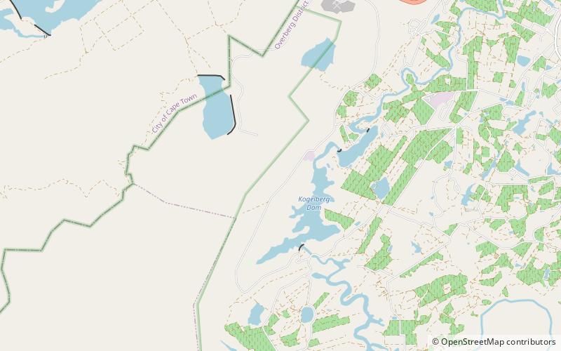
Map
Gallery
Facts and practical information
Sir Lowry's Pass is a mountain pass on the N2 national road in the Western Cape province of South Africa. It crosses the Hottentots-Holland mountain range between Somerset West and the Elgin valley, on the main national road between Cape Town and the Garden Route. A railway line also crosses the mountain range at this point. ()
Location
Western Cape
ContactAdd
Social media
Add
Day trips