Kogelberg Dam
Map
Facts and practical information
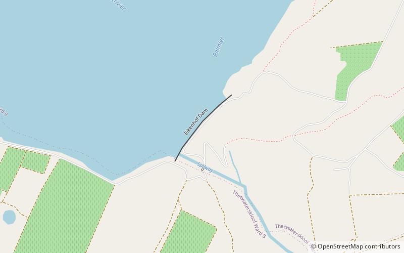
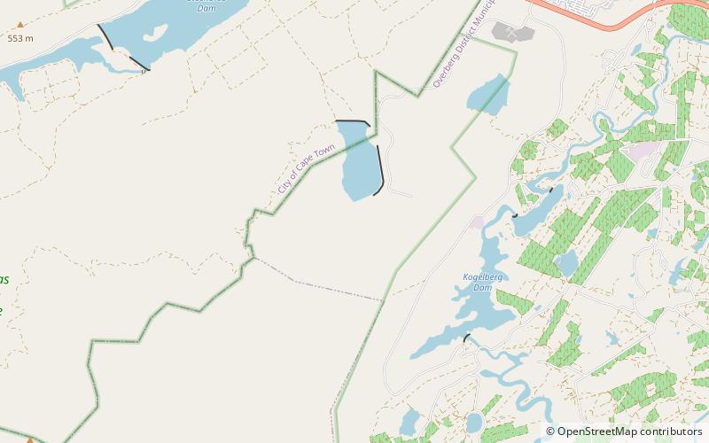
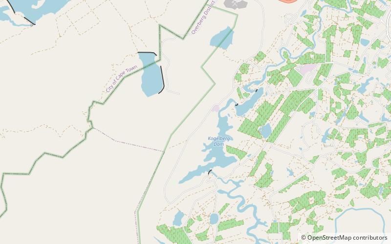
Kogelberg Dam is a combined gravity & arch type dam located on the Palmiet River, near Grabouw, Western Cape, South Africa. It was established in 1986 and its primary purpose is to serve for irrigation and industrial use. The hazard potential of the dam has been ranked high. ()
Local name: KogelbergdamOpened: 1986 (40 years ago)Length: 2789 ftHeight: 171 ftCoordinates: 34°12'7"S, 18°58'1"E
Location
Western Cape
ContactAdd
Social media
Add
Day trips