Brandvlei Dam

Map
Facts and practical information
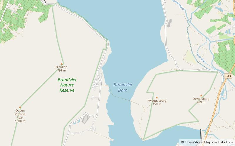
Brandvlei Dam is an earth-fill type dam on the Lower Brandvlei River in Western Cape, South Africa. It was completed in 1983 and the inlet is the Holsloot River. ()
Opened: 1983 (43 years ago)Coordinates: 33°44'1"S, 19°25'25"E
Location
Western Cape
ContactAdd
Social media
Add
Day trips
Brandvlei Dam – popular in the area (distance from the attraction)
Nearby attractions include: Greater Brandvlei Dam, Kwaggaskloof Dam.

