Kwaggaskloof Dam

Map
Facts and practical information
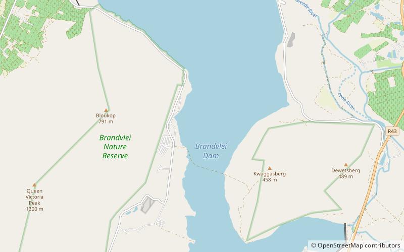
Kwaggaskloof Dam is a dam on the Wabooms River, near Worcester, Western Cape, South Africa. It was established in 1975. ()
Local name: KwaggaskloofdamOpened: 1975 (51 years ago)Length: 3061 ftHeight: 59 ftCoordinates: 33°46'6"S, 19°26'4"E
Location
Western Cape
ContactAdd
Social media
Add
Day trips