Greater Brandvlei Dam

Map
Facts and practical information
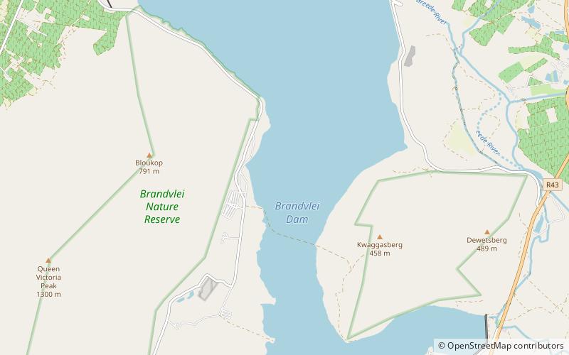
Greater Brandvlei Dam is an earth-fill type dam located on a tributary of the Breede River, near Worcester, Western Cape, South Africa. It was formed by joining the original Brandvlei Dam and the Kwaggaskloof Dam after reconstruction in 1989. Its main purpose is for irrigation use and the hazard potential of the dam has been ranked high. ()
Local name: Groter BrandvleidamOpened: 1983 (43 years ago)Length: 4101 ftHeight: 71 ftCoordinates: 33°42'1"S, 19°27'46"E
Location
Western Cape
ContactAdd
Social media
Add
Day trips
Greater Brandvlei Dam – popular in the area (distance from the attraction)
Nearby attractions include: Mountain Mill Shopping Centre, Brandvlei Dam, Kwaggaskloof Dam.


