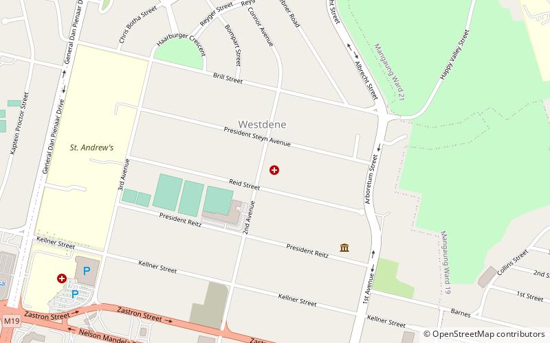
Motheo District Municipality, Bloemfontein
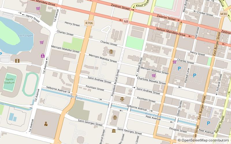
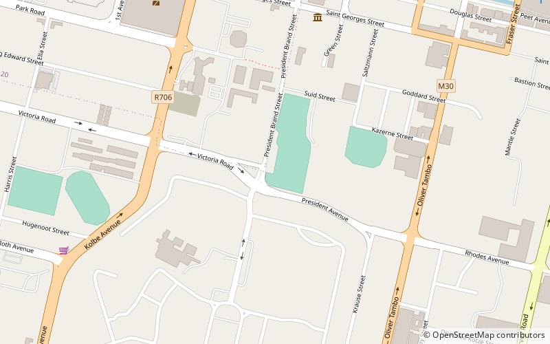
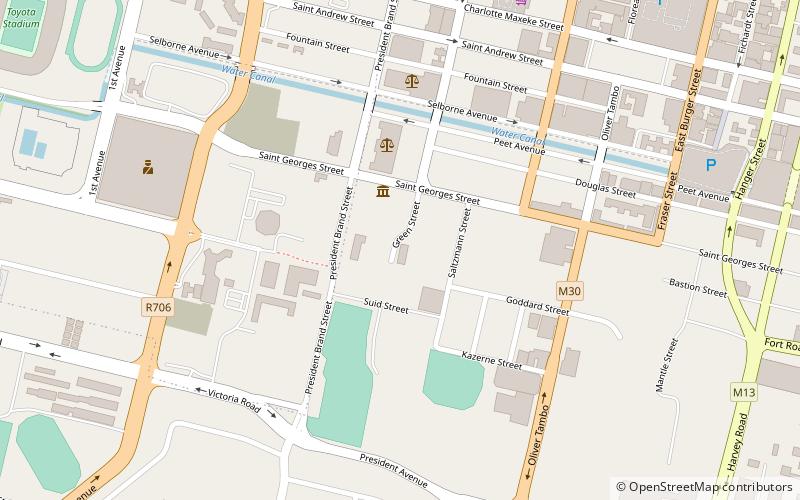
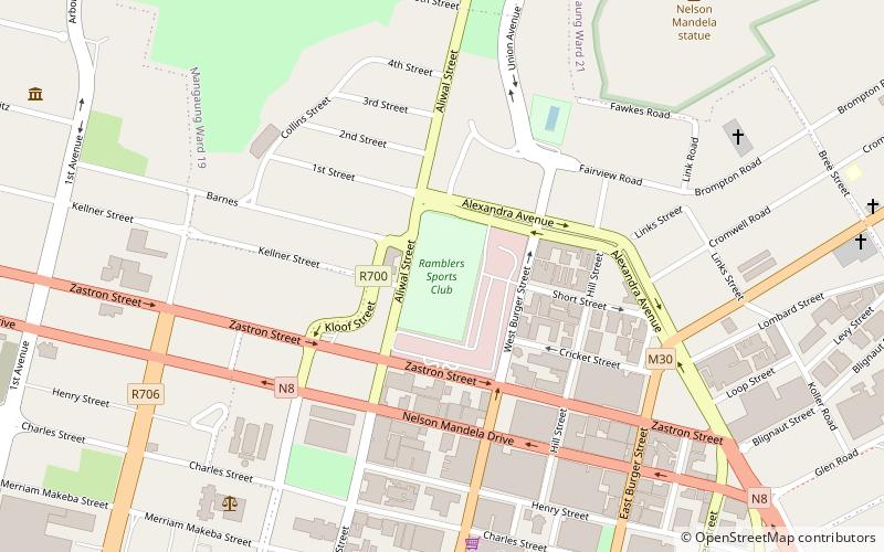
Map
Facts and practical information
Motheo was, until the municipal elections of 18 May 2011, a district of the Free State province of South Africa. At the time of the 2011 elections it was disestablished as a consequence of Mangaung Local Municipality being upgraded to a metropolitan municipality ()
Getting there by public transportation
Public transportation stops near this location
- Train
 Train
Train
- Calculate routeBloemfontein 16 min walk
Day trips


Frequently Asked Questions (FAQ)
Which popular attractions are close to Motheo District Municipality?
Nearby attractions include National Museum, Bloemfontein (5 min walk), Old Presidency, Bloemfontein (6 min walk), Sacred Heart Cathedral, Bloemfontein (9 min walk), Cathedral of St Andrew and St Michael, Bloemfontein (15 min walk).
How to get to Motheo District Municipality by public transport?
The nearest stations to Motheo District Municipality:
Train
Train
- Bloemfontein (16 min walk)