Gyeongju Civic Stadium, Gyeongju
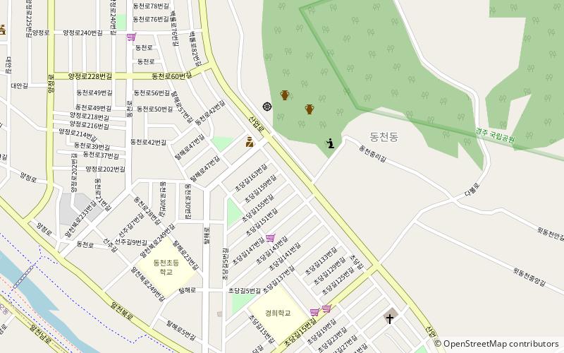
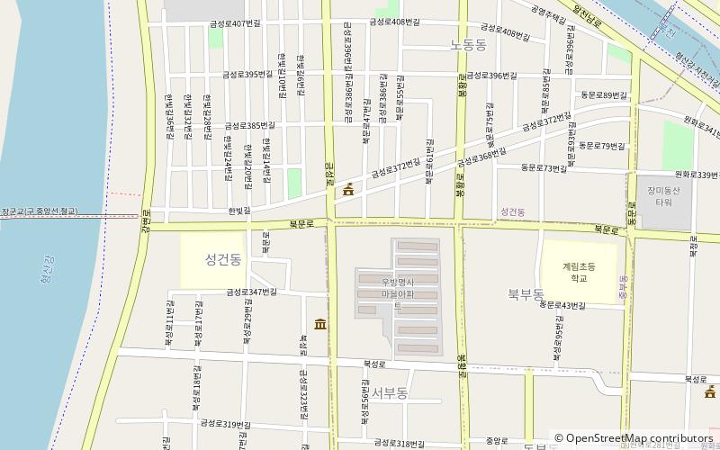
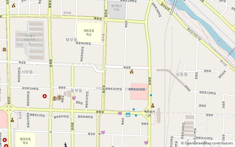
Map
Map

Facts and practical information
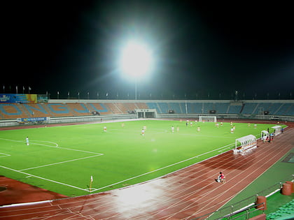
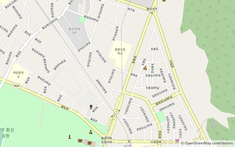
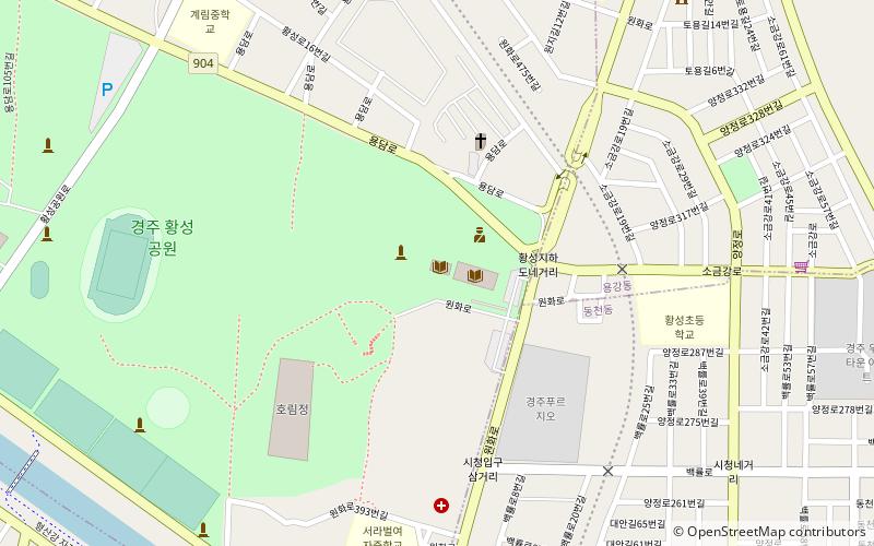
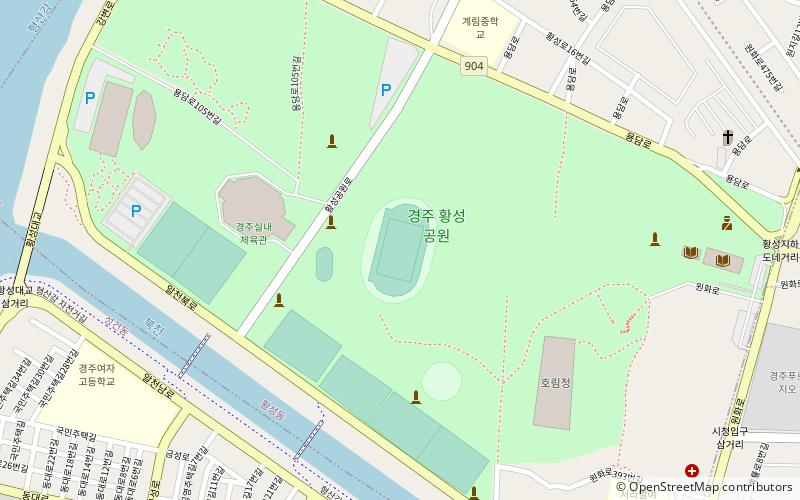
Gyeongju Civic Stadium is a multi-use stadium in Gyeongju, South Korea. It is used mostly for football matches. ()
Address
Gyeongju
ContactAdd
Social media
Add
Day trips
Gyeongju Civic Stadium – popular in the area (distance from the attraction)
Nearby attractions include: Seongdong Market, Baengnyulsa, Hwangseong Park, Gyerim.
Frequently Asked Questions (FAQ)
Which popular attractions are close to Gyeongju Civic Stadium?
Nearby attractions include Hwangseong Park, Gyeongju (1 min walk), Hwangseong-dong, Gyeongju (9 min walk), Yonggang-dong, Gyeongju (15 min walk), Seonggeon-dong, Gyeongju (19 min walk).
How to get to Gyeongju Civic Stadium by public transport?
The nearest stations to Gyeongju Civic Stadium:
Bus
Bus
- Bus to Mt. Namsan (28 min walk)
