Hwango-dong, Gyeongju
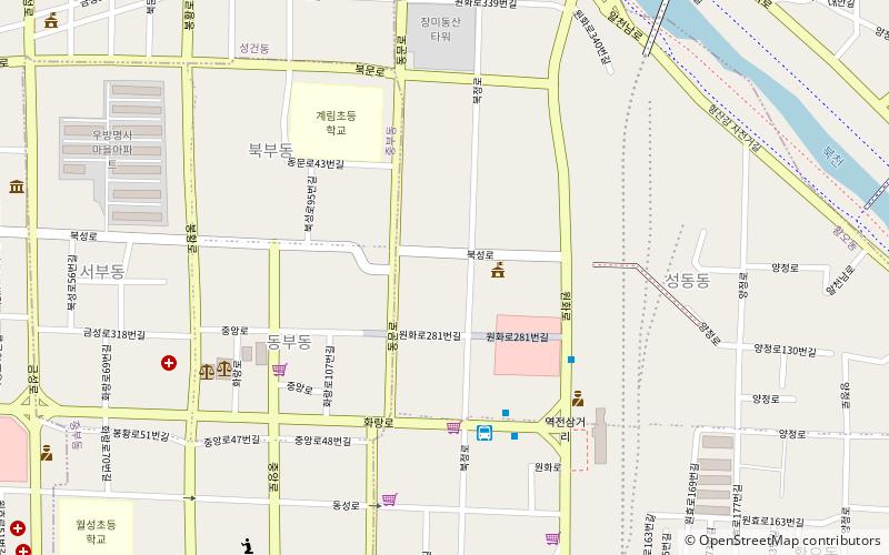
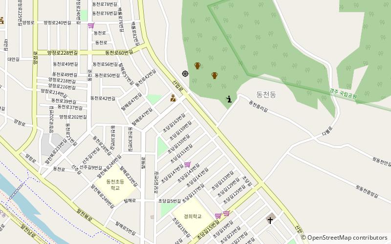
Map
Facts and practical information
Hwango-dong is a dong or a neighbourhood of the Gyeongju City, North Gyeongsang province, South Korea. It is located in the central Gyeongju and is bordered by Bohwang-dong on the east, Jangang-dong on the west, Hwangnam-dong on the south and Seongdong-dong on the north. Its 1.5 square kilometers are home to about 10225 people. It is both an administrative dong and legal dong. ()
Address
Gyeongju
ContactAdd
Social media
Add
Getting there by public transportation
Public transportation stops near this location
- Bus
 Bus
Bus
- Calculate routeBus to Mt. Namsan 5 min walk
- Calculate routeGyeongju Express Bus Terminal 22 min walk
- Calculate routeGyeongju Intercity Bus Terminal 22 min walk
Day trips


Frequently Asked Questions (FAQ)
Which popular attractions are close to Hwango-dong?
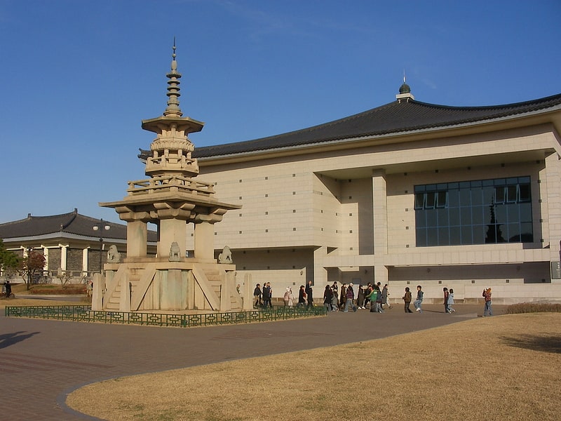
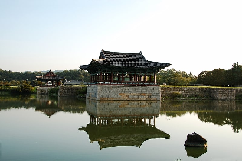
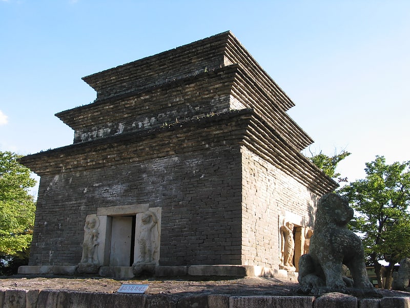
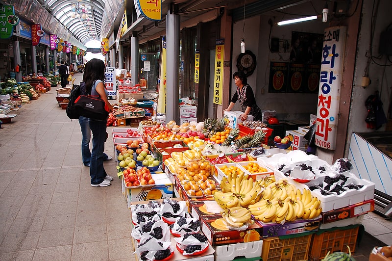
Nearby attractions include Seongdong Market, Gyeongju (4 min walk), Seonggeon-dong, Gyeongju (12 min walk), Gold Crown Tomb, Gyeongju (15 min walk), Cheonmachong, Gyeongju (17 min walk).
How to get to Hwango-dong by public transport?
The nearest stations to Hwango-dong:
Bus
Bus
- Bus to Mt. Namsan (5 min walk)
- Gyeongju Express Bus Terminal (22 min walk)