Platja de la Móra, Tarragona

Facts and practical information
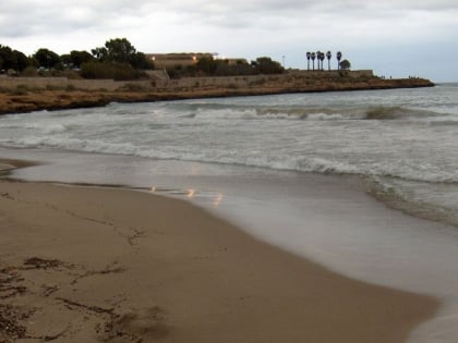
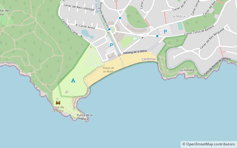
Platja de la Móra (address: Ctra. Nacional 340, Km. 1171) is a place located in Tarragona (Catalonia autonomous community) and belongs to the category of beach.
It is situated at an altitude of 0 feet, and its geographical coordinates are 41°7'39"N latitude and 1°20'47"E longitude.
Planning a visit to this place, one can easily and conveniently get there by public transportation. Platja de la Móra is a short distance from the following public transport stations: La Mora (bus, 5 min walk).
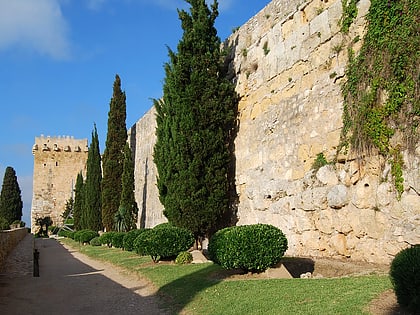
Among other places and attractions worth visiting in the area are: Castell de Tamarit (forts and castles, 21 min walk), Roman quarry of El Mèdol (unesco, 22 min walk), Torre dels Escipions (unesco, 38 min walk).
Ctra. Nacional 340, Km. 1171Tarragona
Platja de la Móra – popular in the area (distance from the attraction)
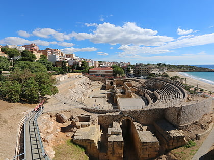
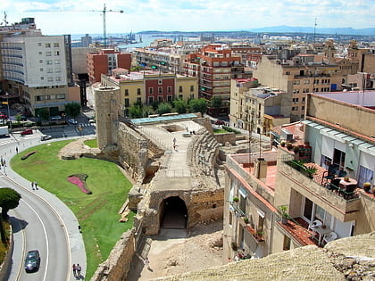
Nearby attractions include: Nou Estadi, Tarragona Cathedral, Museu Nacional Arqueològic de Tarragona, Tarragona Amphitheatre.
Frequently Asked Questions (FAQ)
Which popular attractions are close to Platja de la Móra?
How to get to Platja de la Móra by public transport?
Bus
- La Mora • Lines: L12 (5 min walk)
- Conca de Barberà • Lines: L12 (6 min walk)

