Parc de Torreblanca, Barcelona
Map
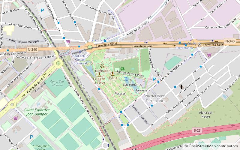
Map

Facts and practical information
Torreblanca Park is a park of approximately about 12 hectares in size and is divided into several parts. It is within the metropolitan area of Barcelona.
Alternative names: Architectural style: EclecticismElevation: 164 ft a.s.l.Coordinates: 41°22'41"N, 2°3'22"E
Address
Barcelona
ContactAdd
Social media
Add
Day trips
Parc de Torreblanca – popular in the area (distance from the attraction)
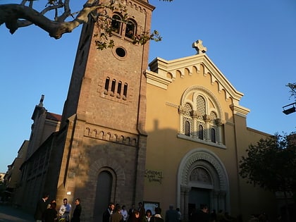
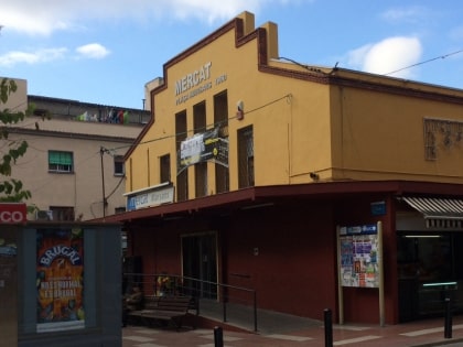
Nearby attractions include: Sant Feliu de Llobregat Cathedral, Can Negre, Mercat Marsans, Walden 7.
Frequently Asked Questions (FAQ)
Which popular attractions are close to Parc de Torreblanca?
Nearby attractions include Sant Feliu de Llobregat Cathedral, Barcelona (15 min walk), Walden 7, Barcelona (16 min walk), Sant Feliu de Llobregat, Barcelona (17 min walk), La Fábrica, Barcelona (17 min walk).
How to get to Parc de Torreblanca by public transport?
The nearest stations to Parc de Torreblanca:
Bus
Tram
Train
Bus
- Av. de la Generalitat - Av. Montejurra • Lines: N12 (3 min walk)
- Jaume Balmes - Consell Comarcal • Lines: L10 (4 min walk)
Tram
- Sant Feliu/Consell Comarcal • Lines: T3 (5 min walk)
- Torreblanca • Lines: T3 (7 min walk)
Train
- Sant Feliu de Llobregat (14 min walk)
- Sant Joan Despí (18 min walk)

 Metro
Metro