Playa de Mataleñas, Santander
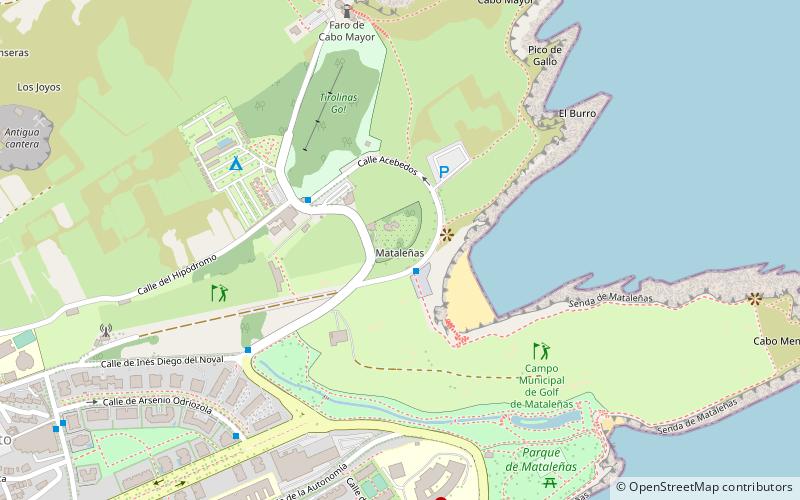
Map

Map

Facts and practical information
Mataleñas beach is located in Cueto, in the municipality of Santander, in the Autonomous Community of Cantabria, Spain. Located near Cabo Menor, it is accessed through the avenue that gives access to the lighthouse of Cabo Mayor.
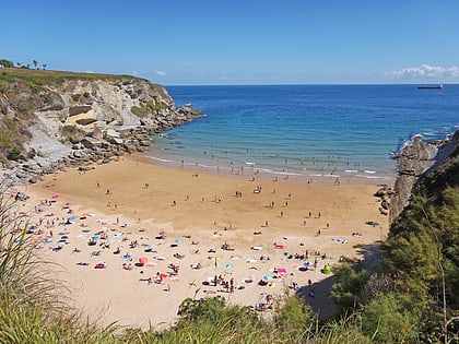
It occupies a cove sheltered by high cliffs and bordered by the tidal flats. It is difficult to access on foot up a steep flight of steps. These characteristics make it a sandy beach of great beauty.
Coordinates: 43°29'12"N, 3°47'22"W
Address
Av del Faro, 39012 SantanderSantander
ContactAdd
Social media
Add
Day trips
Playa de Mataleñas – popular in the area (distance from the attraction)
Nearby attractions include: Playa de El Camello, Gran Casino Sardinero, Playa de Los Molinucos, Playa de Mataleñas.
Frequently Asked Questions (FAQ)
Which popular attractions are close to Playa de Mataleñas?
Nearby attractions include Playa de Mataleñas, Santander (3 min walk), Forestal Park Santander, Santander (3 min walk), Mataleñas Beach, Santander (7 min walk), Lighthouse at Cabo Mayor, Santander (8 min walk).
How to get to Playa de Mataleñas by public transport?
The nearest stations to Playa de Mataleñas:
Bus
Bus
- Mataleñas • Lines: Tus-15 (1 min walk)
- Camping • Lines: Tus-15 (3 min walk)


