Playa de Los Molinucos, Santander
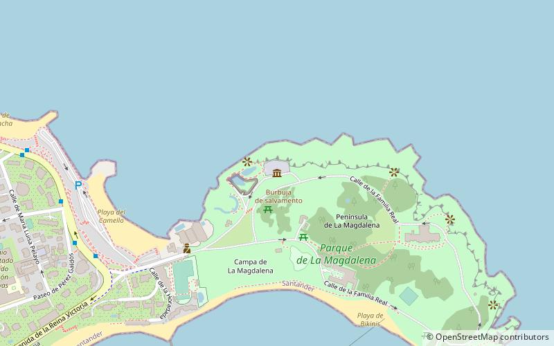
Map
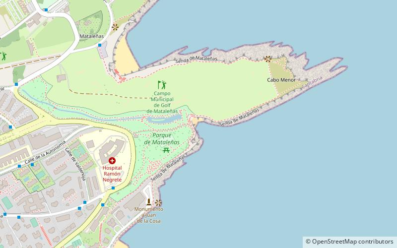
Map

Facts and practical information
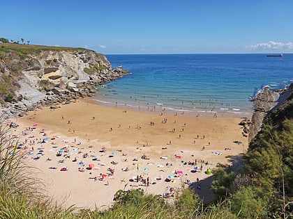
Molinucos beach is located in Cabo Menor, in the municipality of Santander, next to the Mataleñas park and the municipal golf course of the same name.
The slope of access to the water is gently sloping, with fine sand and pebbles. It tends to have a low level of occupation and does not offer any facilities. This beach is completely covered by the tide at high tide.
It has a length of 25 meters.
Coordinates: 43°29'2"N, 3°47'5"W
Address
Avda. del Faro s/nSantander 39012
ContactAdd
Social media
Add
Day trips
Playa de Los Molinucos – popular in the area (distance from the attraction)
Nearby attractions include: Palacio de la Magdalena, Playa de El Camello, Playa de Bikinis, Gran Casino Sardinero.
Frequently Asked Questions (FAQ)
Which popular attractions are close to Playa de Los Molinucos?
Nearby attractions include Mataleñas Beach, Santander (3 min walk), Playa de Mataleñas, Santander (6 min walk), Playa de Mataleñas, Santander (8 min walk), Forestal Park Santander, Santander (11 min walk).
How to get to Playa de Los Molinucos by public transport?
The nearest stations to Playa de Los Molinucos:
Bus
Bus
- Mutua Montañesa • Lines: Tus-13, Tus-15 (6 min walk)
- Avenida el Faro 20 • Lines: Tus-13, Tus-15 (7 min walk)

