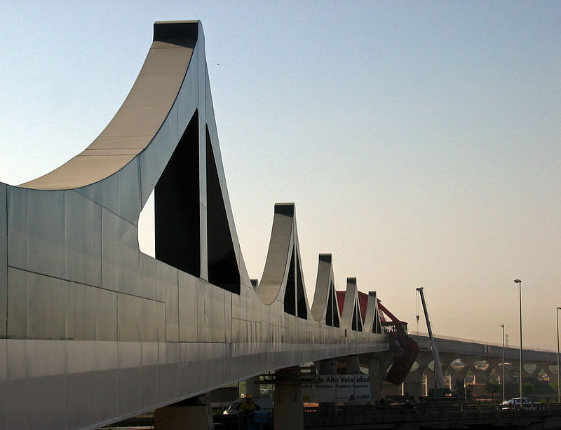
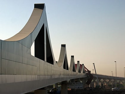
Sant Boi Bridge, Barcelona
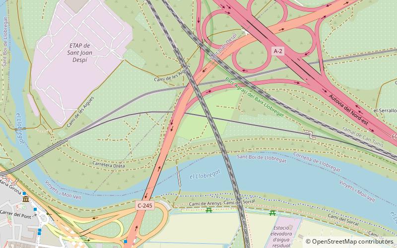
Map
Gallery
Facts and practical information
Local name: Viaducto de Sant Boi de Llobregat Opened: 2006 (20 years ago)Length: 2854 ftHeight: 39 ftCoordinates: 41°20'59"N, 2°3'14"E
Address
Barcelona
ContactAdd
Social media
Add
Day trips
Sant Boi Bridge – popular in the area (distance from the attraction)
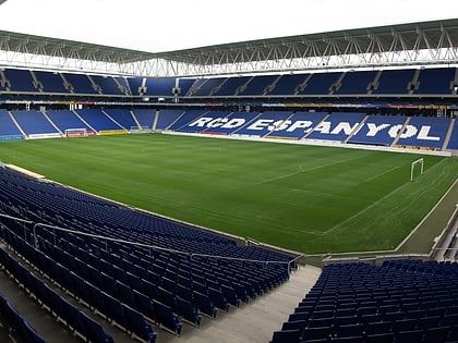
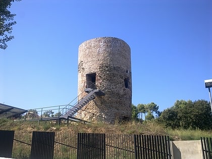
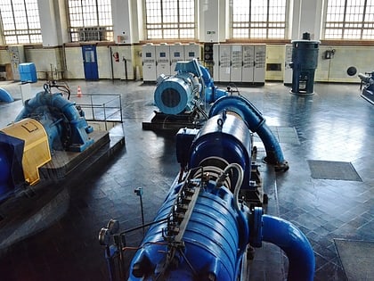
Nearby attractions include: RCDE Stadium, Museu romà, Can Negre, Museu Agbar de les Aigües.
Frequently Asked Questions (FAQ)
Which popular attractions are close to Sant Boi Bridge?
Nearby attractions include Museu romà, Barcelona (11 min walk), Museu Agbar de les Aigües, Barcelona (18 min walk), Sant Boi de Llobregat, Barcelona (21 min walk).
How to get to Sant Boi Bridge by public transport?
The nearest stations to Sant Boi Bridge:
Bus
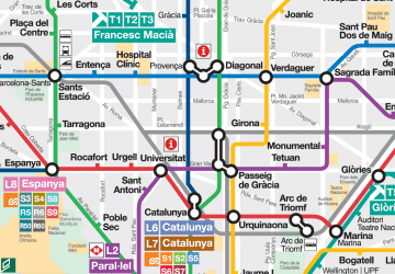
Metro
Tram
Train
Bus
- Av. Maria Girona - Hospital • Lines: L75, L77, L96, Sb2 (11 min walk)
- Av. Maria Girona - Sta. Creu de Calafell • Lines: L75, L77 (11 min walk)
Metro
- Sant Boi • Lines: L8 (15 min walk)
- Cornellà Centre • Lines: L5 (26 min walk)
Tram
- Les Aigües • Lines: T1, T2 (20 min walk)
- Fontsanta/Fatjó • Lines: T1, T2 (22 min walk)
Train
- Cornellà (26 min walk)
- Colònia Güell (39 min walk)
 Metro
Metro