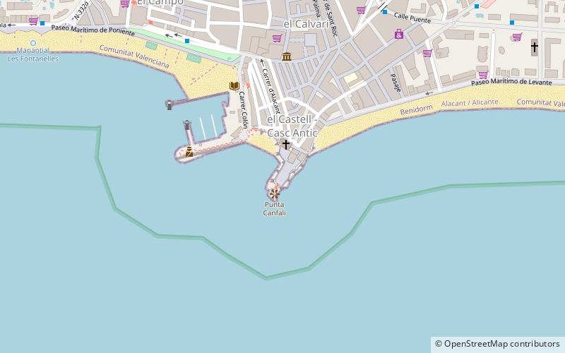
Mal Pas Beach, Benidorm
Facts and practical information
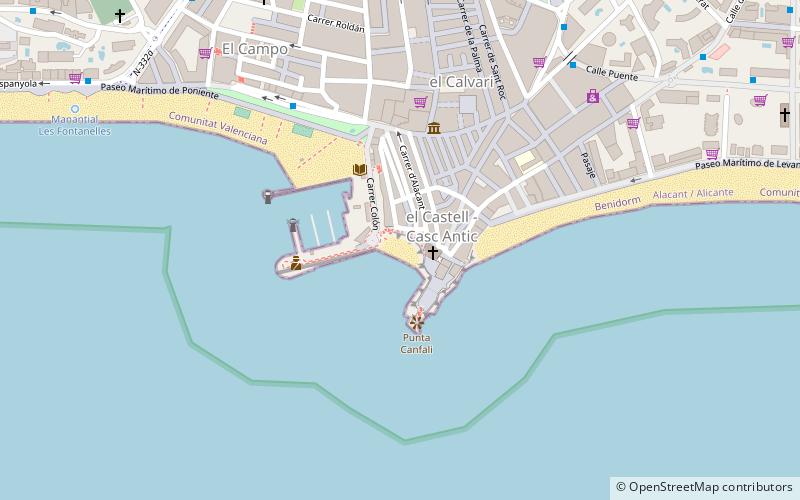
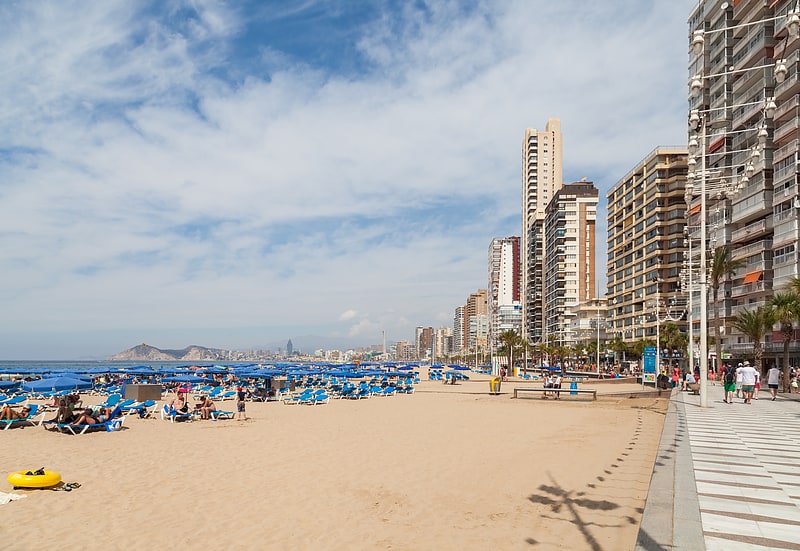
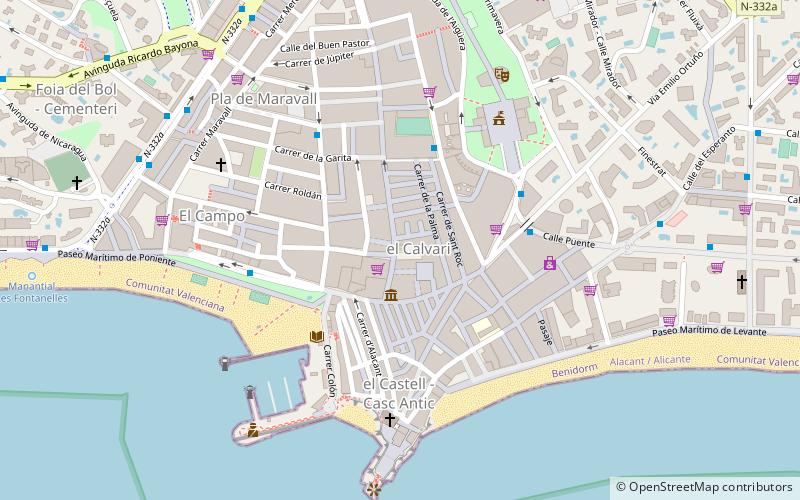
Mal Pas Beach is a place located in Benidorm (Valencia autonomous community) and belongs to the category of beach, outdoor activities, park.
It is situated at an altitude of 23 feet, and its geographical coordinates are 38°32'4"N latitude and 0°7'54"W longitude.
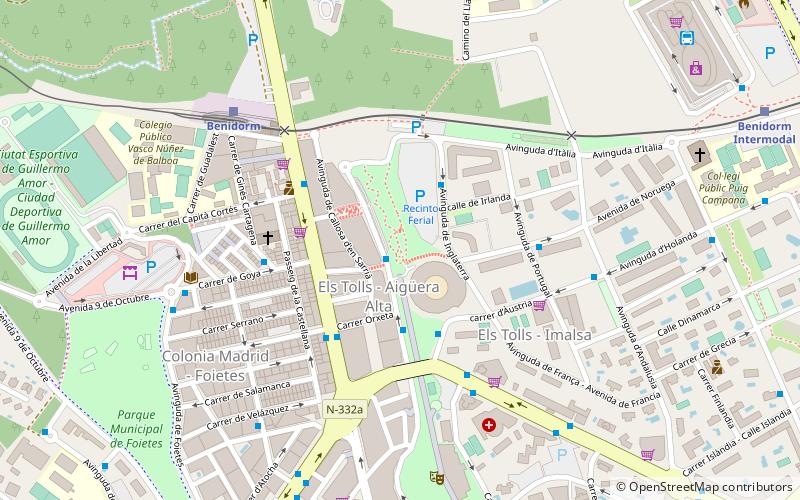
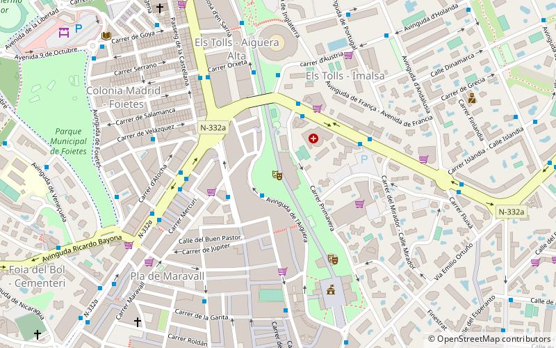
Planning a visit to this place, one can easily and conveniently get there by public transportation. Mal Pas Beach is a short distance from the following public transport stations: C/ Esperanto, 4 (bus, 11 min walk), Benidorm (train, 25 min walk), Benidorm (tram, 25 min walk), Disco Benidorm (light rail, 34 min walk).
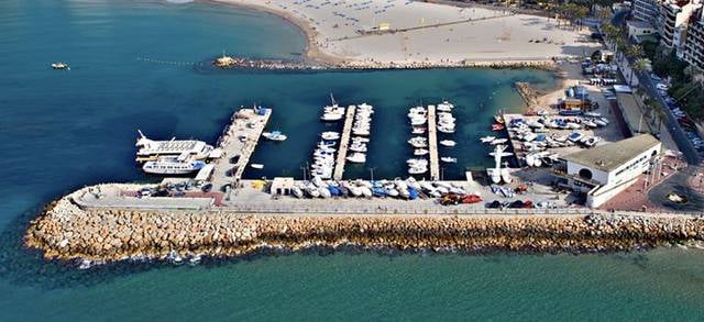
Among other places and attractions worth visiting in the area are: Club Náutico Benidorm (sailing, 2 min walk), Parroquia de San Jaime y Santa Ana - Benidorm (church, 2 min walk), Plaça del Castell (square, 2 min walk).
Benidorm
- Bus
- Tram
- Light rail
- Train
 Bus
Bus
- Calculate routeC/ Esperanto, 4 11 min walk
- Calculate routeAv. Mediterráneo, 3 12 min walk
- Calculate routeC/ Lepanto, 2 15 min walk
- Calculate routeBenidorm 25 min walk
- Calculate routeBenidorm 25 min walk
- Calculate routeBenidorm Intermodal 28 min walk
- Calculate routeDisco Benidorm 34 min walk
- Calculate routeDisco Benidorm 34 min walk


Frequently Asked Questions (FAQ)
Which popular attractions are close to Mal Pas Beach?
How to get to Mal Pas Beach by public transport?
Bus
- C/ Esperanto, 4 • Lines: 1 (11 min walk)
- Av. Mediterráneo, 3 • Lines: 1, 4 (12 min walk)
Train
- Benidorm (25 min walk)
Tram
- Benidorm • Lines: L1 (25 min walk)
- Benidorm Intermodal • Lines: L9 (28 min walk)
Light rail
- Disco Benidorm • Lines: L9 (34 min walk)