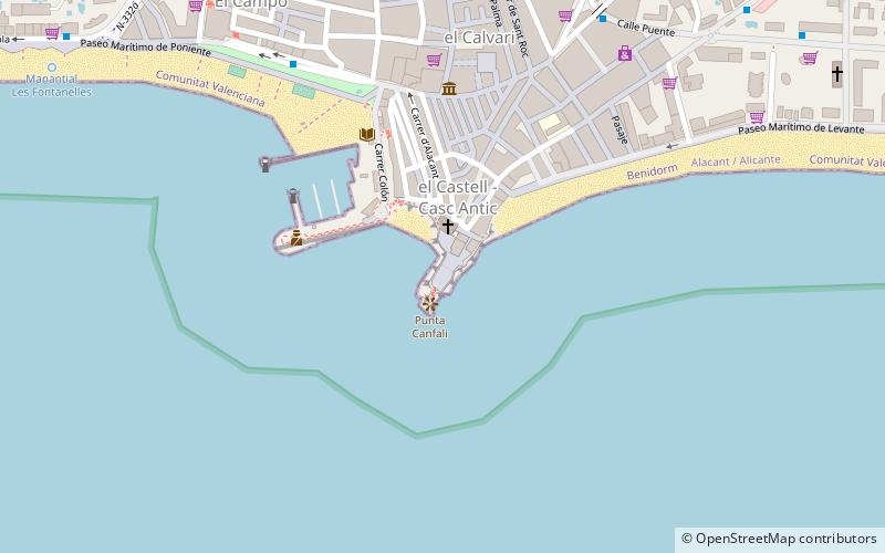
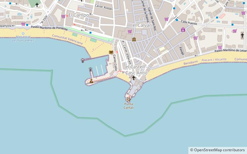
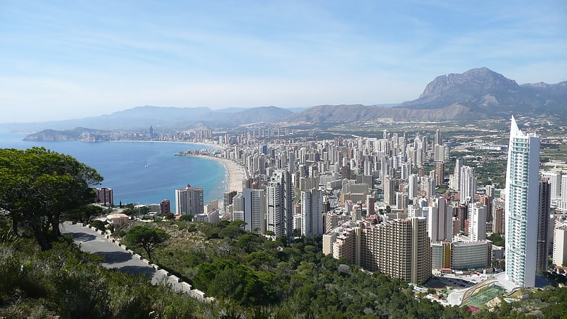
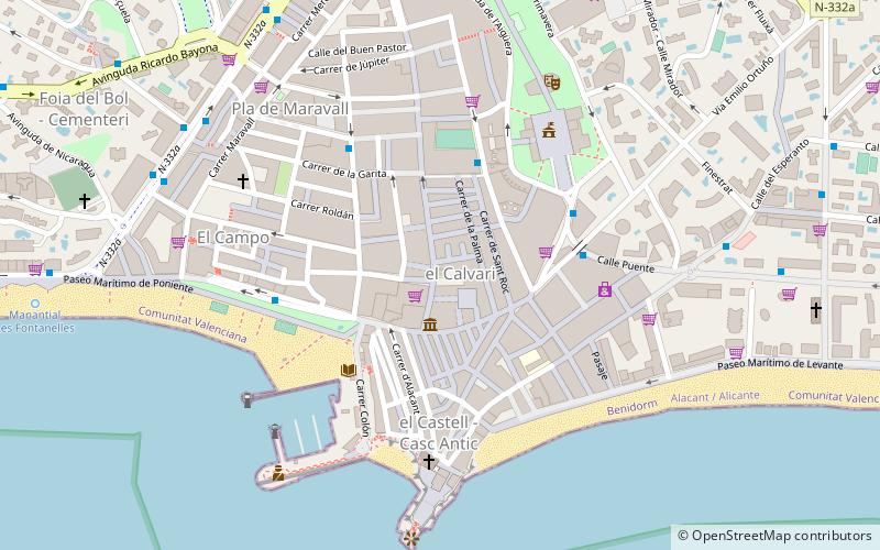
Plaça del Castell, Benidorm
Facts and practical information
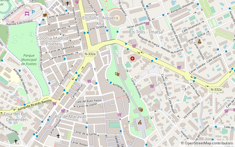
Plaça del Castell is a place located in Benidorm (Valencia autonomous community) and belongs to the category of square, cafeteria.
It is situated at an altitude of 16 feet, and its geographical coordinates are 38°32'1"N latitude and 0°7'52"W longitude.
Planning a visit to this place, one can easily and conveniently get there by public transportation. Plaça del Castell is a short distance from the following public transport stations: C/ Esperanto, 4 (bus, 11 min walk), Benidorm (train, 26 min walk), Benidorm (tram, 27 min walk), Disco Benidorm (light rail, 35 min walk).
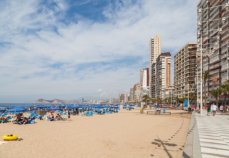
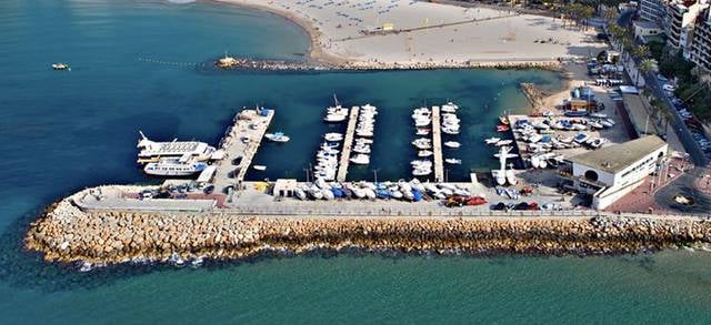
Among other places and attractions worth visiting in the area are: Mal Pas Beach (beach, 2 min walk), Parroquia de San Jaime y Santa Ana - Benidorm (church, 2 min walk), Club Náutico Benidorm (sailing, 3 min walk).
- Bus
- Tram
- Light rail
- Train
 Bus
Bus
- Calculate routeC/ Esperanto, 4 11 min walk
- Calculate routeAv. Mediterráneo, 3 12 min walk
- Calculate routeC/ Lepanto, 2 15 min walk
- Calculate routeBenidorm 26 min walk
- Calculate routeBenidorm 27 min walk
- Calculate routeBenidorm Intermodal 29 min walk
- Calculate routeDisco Benidorm 35 min walk
- Calculate routeDisco Benidorm 35 min walk


Frequently Asked Questions (FAQ)
Which popular attractions are close to Plaça del Castell?
How to get to Plaça del Castell by public transport?
Bus
- C/ Esperanto, 4 • Lines: 1 (11 min walk)
- Av. Mediterráneo, 3 • Lines: 1, 4 (12 min walk)
Train
- Benidorm (26 min walk)
Tram
- Benidorm • Lines: L1 (27 min walk)
- Benidorm Intermodal • Lines: L9 (29 min walk)
Light rail
- Disco Benidorm • Lines: L9 (35 min walk)