Sant Alís
Map
![Sant Alís location map](https://tzmedia.b-cdn.net/media/images/static-maps/es/42_0398_0_76652.jpg)
Map
![Sant Alís location map](https://tzmedia.b-cdn.net/media/images/static-maps/es/42_0398_0_76652.jpg)
Facts and practical information
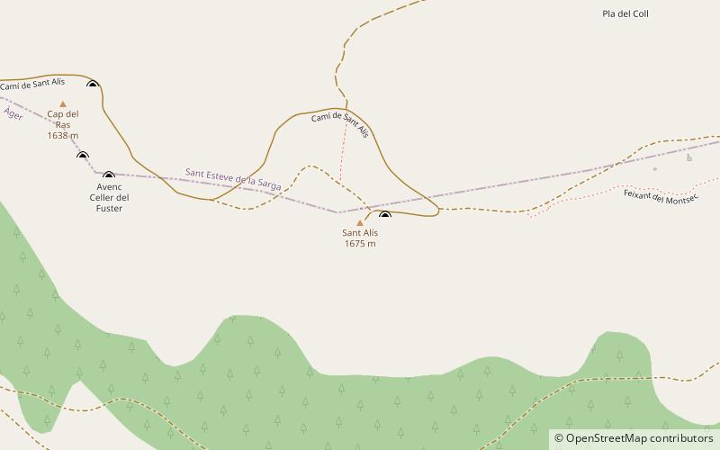
Sant Alís is the highest mountain of the Serra del Montsec, Catalonia, Spain. It has an elevation of 1,675 metres above sea level. ()
Elevation: 5495 ftCoordinates: 42°2'23"N, 0°45'59"E
Location
Catalonia
ContactAdd
Social media
Add
Day trips
Sant Alís – popular in the area (distance from the attraction)
Nearby attractions include: Castell de Mur, Montsec Range, Castell de Sant Oïsme, la Santa Creu.