Calle Mayor, Palencia
Map
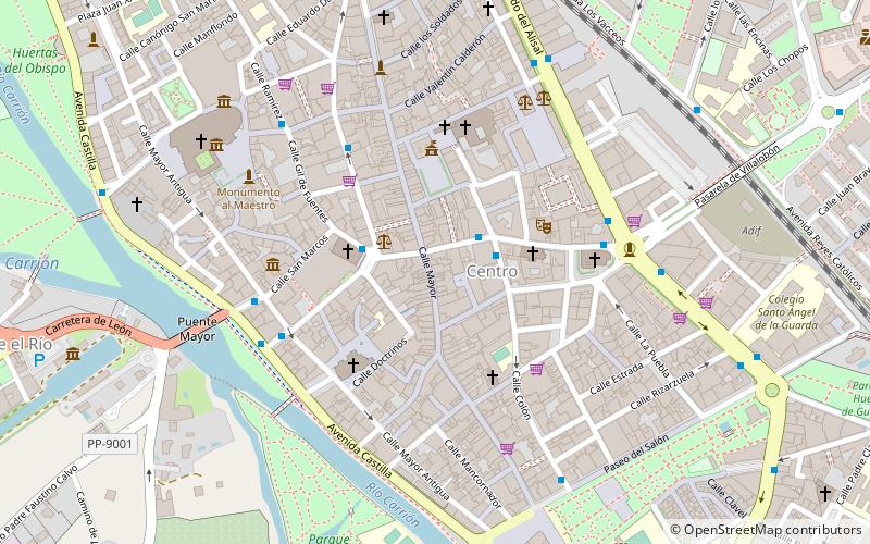
Map

Facts and practical information
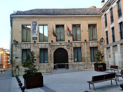
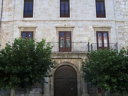
The Main Street of Palencia is a public street located in the heart of the city, it is the backbone of the city, commercial center par excellence and location of most of the civil monuments of Palencia. The Main Street preserves the spirit and architecture of the Palencia bourgeoisie of the nineteenth and twentieth centuries.
Coordinates: 42°0'33"N, 4°31'58"W
Address
Calle MayorPalencia 34001
ContactAdd
Social media
Add
Day trips
Calle Mayor – popular in the area (distance from the attraction)
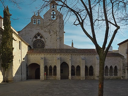
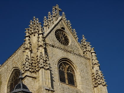
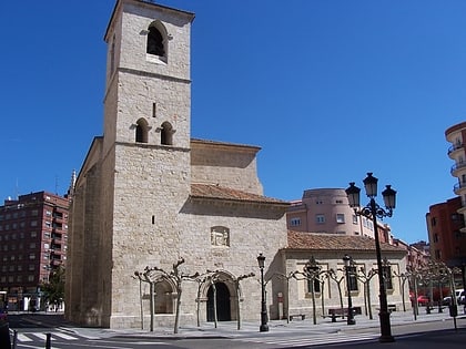
Nearby attractions include: Palencia Cathedral, Church of San Miguel, Archaeological Museum, St. Francis Church.
Frequently Asked Questions (FAQ)
Which popular attractions are close to Calle Mayor?
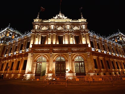
Nearby attractions include Monumento a la Mujer Palentina, Palencia (3 min walk), Iglesia de la Compañía, Palencia (3 min walk), Diputación de Palencia, Palencia (3 min walk), Calle Mayor, Palencia (3 min walk).
How to get to Calle Mayor by public transport?
The nearest stations to Calle Mayor:
Bus
Train
Bus
- C/ Don Sancho • Lines: L1 (2 min walk)
- C/ Colón, 2 • Lines: L1 (2 min walk)
Train
- Palencia (12 min walk)


