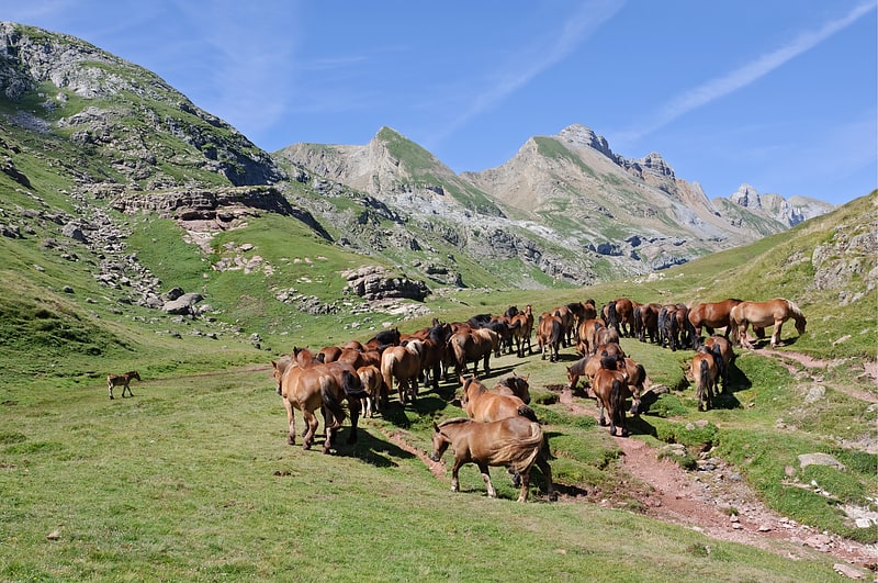
Refugi del Pla de la Font

Gallery (1)
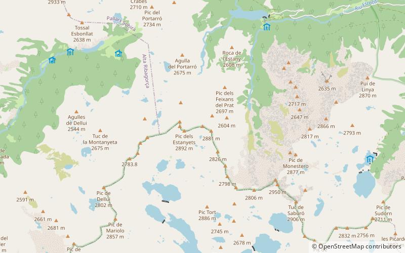
Map
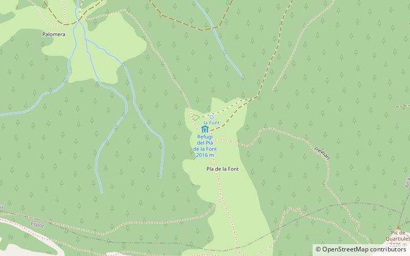
Map
Facts and practical information
Refugi del Pla de la Font (address: Plaça Treio, 3) is a place located in Spain and belongs to the category of hiking, alpine hut.
It is situated at an altitude of 6591 feet, and its geographical coordinates are 42°35'51"N latitude and 1°4'22"E longitude.
Among other places and attractions worth visiting in the area are: Torre dels MorosEspot (forts and castles, 44 min walk), Santa Maria (monastery, 80 min walk), Espot Esquí (winter sport, 89 min walk).
Coordinates: 42°35'51"N, 1°4'22"E
Day trips