Tuc de Ratera, Aigüestortes i Estany de Sant Maurici National Park
#15 among attractions in Aigüestortes i Estany de Sant Maurici National Park
Facts and practical information
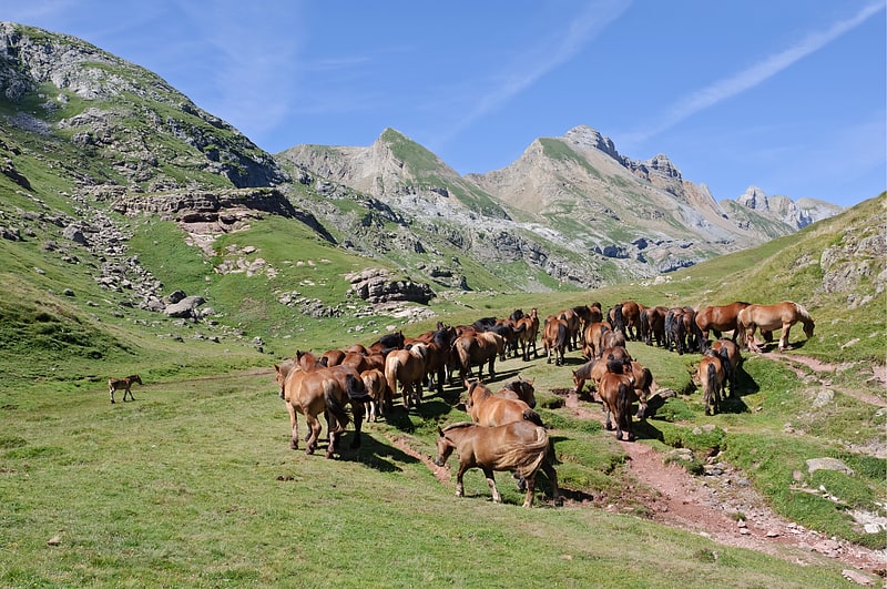
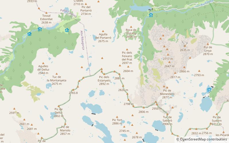
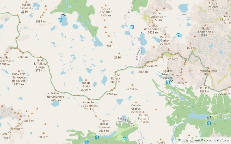
The Pico de Ratera or Tuc de Ratera is a peak in the Pyrenees with an altitude 2862 meters, it is located in the Cirque de Colomers, in the region of the Aran Valley.
Aigüestortes i Estany de Sant Maurici National Park Spain
Aigüestortes i Estany de Sant Maurici National Park plan & book
Unleash the traveler in you — discover the cheapest flight deals, find the perfect hotel or hostel nearby, and search for the best car rental prices. Travel at your own pace to discover new places and enjoy your journey.
Tuc de Ratera – popular in the area (distance from the attraction)
Nearby attractions include: Pic de Peguera, Gran Tuc de Colomers, Gran Encantat, Pyrenees.
- 5.1 miSENature, Natural attraction, Mountain
Pic de Peguera, Aigüestortes i Estany de Sant Maurici National Park
132 min walk • Pic de Peguera is a mountain of Catalonia, Spain. Located in the Pyrenees, it has an elevation of 2,980 metres above sea level.
- 1.1 miSWNature, Natural attraction, Mountain
Gran Tuc de Colomers, Aigüestortes i Estany de Sant Maurici National Park
30 min walk • Gran Tuc de Colomers is a mountain of Catalonia, Spain. Located in the Pyrenees, it has an altitude of 2933 metres above sea level.
- 3.9 miSENature, Natural attraction, Mountain
Gran Encantat, Aigüestortes i Estany de Sant Maurici National Park
99 min walk • Gran Encantat is a mountain peak of Catalonia, Spain. Located in the Pyrenees, it is the higher of the two peaks of the Els Encantats mountain, with an altitude of 2,748 metres above sea level.
- 5.1 miNENature, Natural attraction, Natural feature
Pyrenees
130 min walk • The Pyrenees is a mountain range straddling the border of France and Spain. It extends nearly 500 km from its union with the Cantabrian Mountains to Cap de Creus on the Mediterranean coast.
- 3.7 miSWNature, Natural attraction, Mountain
Pic de la Pala Alta de Sarradé, Aigüestortes i Estany de Sant Maurici National Park
94 min walk • Pic de la Pala Alta de Sarradé is a mountain of the Pyrenees, Catalonia, Spain. Located in the Aigüestortes i Estany de Sant Maurici National Park, it has an elevation of 2,983 metres above sea level.
- 2.6 miSWNature, Natural attraction, Mountain
Pic de Contraix, Aigüestortes i Estany de Sant Maurici National Park
67 min walk • Pic de Contraix is a mountain of Catalonia, Spain. Located in the Pyrenees, it has an altitude of 2,958 metres above sea level.
- 3.5 miSENature, Natural attraction, Mountain
Pic de Subenuix, Aigüestortes i Estany de Sant Maurici National Park
89 min walk • Pic de Subenuix is a mountain of Catalonia, Spain. Located in the Pyrenees, it has an elevation of 2,950 metres above sea level.
- 3.7 miSENature, Natural attraction, Mountain
Pic Morto, Aigüestortes i Estany de Sant Maurici National Park
95 min walk • Pic Morto is a mountain of Catalonia, Spain. Located in the Pyrenees, it has an elevation of 2,902 metres above sea level.
- 5.7 miSENature, Mountain
Tuc de Saburó, Aigüestortes i Estany de Sant Maurici National Park
145 min walk • The peak of Saburó, also called Tuc de Saburó, at 2905.7 m, is a mountain in the Pyrenees, in Spain. It is located in the province of Lérida, between the municipalities of Torre de Cabdella, in the region of Pallars Jussá, to the south, and Espot...
- 1.9 miWNature, Mountain
la Creu de Colomers, Aigüestortes i Estany de Sant Maurici National Park
49 min walk • La Creu de Colomèrs is a mountain located on the border of the municipalities of Vall de Bohí and Alt Aran, within the Aiguas Tortas i Estany de Sant Maurici National Park, in the province of Lleida.
- 1.5 miS42°34'47"N • 0°56'47"E
Tossal Esbonllat, Aigüestortes i Estany de Sant Maurici National Park
39 min walk • Nature, Natural attraction, Mountain