Sants, Barcelona
Map
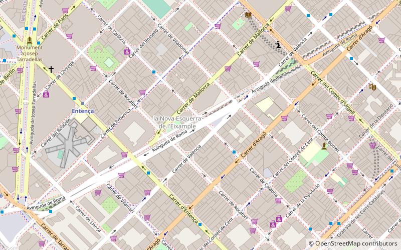
Map

Facts and practical information
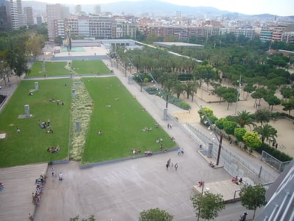
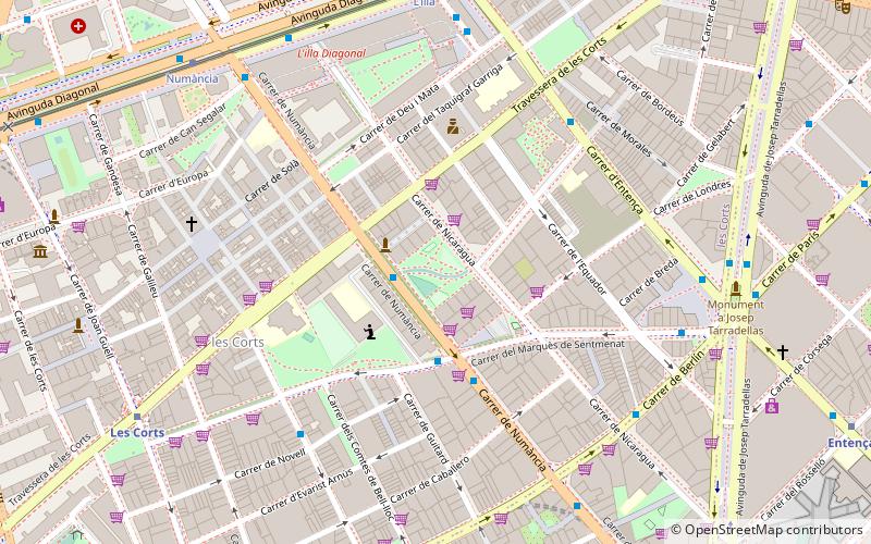
Sants is a neighbourhood in the southern part of Barcelona. It belongs to the district of Sants-Montjuïc and is bordered by the districts of Eixample to the northeast, Les Corts to the northwest, and by the municipality of l'Hospitalet de Llobregat to the south. Although old-fashioned, its name is sometimes still written as Sans in some Spanish-language sources. ()
Address
Eixample (La Nova Esquerra de l'Eixample)Barcelona
ContactAdd
Social media
Add
Day trips
Sants – popular in the area (distance from the attraction)
Nearby attractions include: CaixaForum Barcelona, Magic Fountain of Montjuïc, Plaça d'Espanya, Dona i Ocell.
Frequently Asked Questions (FAQ)
Which popular attractions are close to Sants?
Nearby attractions include La Nova Esquerra de l'Eixample, Barcelona (2 min walk), Carrer d'Entença, Barcelona (6 min walk), Dona i Ocell, Barcelona (9 min walk), Dir, Barcelona (10 min walk).
How to get to Sants by public transport?
The nearest stations to Sants:
Bus
Metro
Train
Tram
Bus
- València - Viladomat • Lines: 109, H10 (2 min walk)
- Mallorca - Viladomat • Lines: 109, H10 (3 min walk)
Metro
- Entença • Lines: L5 (7 min walk)
- Hospital Clínic • Lines: L5 (9 min walk)
Train
- Barcelona - Sants (16 min walk)
- Barcelona - Plaça Catalunya (27 min walk)
Tram
- Francesc Macià • Lines: T1, T2, T3 (19 min walk)
- L'illa • Lines: T1, T2, T3 (22 min walk)

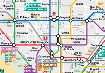 Metro
Metro

