Sierra de Utiel
Map

Map

Facts and practical information
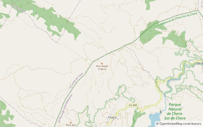
Sierra de Utiel is a 16.45 km long mountain range in the Alt Palància, Alt Millars and Plana Baixa comarcas, Valencian Community, Spain. Its highest point is the 1,306 m high El Remedio. There is often snow in the winter. ()
Location
Valencia
ContactAdd
Social media
Add
Day trips
Sierra de Utiel – popular in the area (distance from the attraction)
Nearby attractions include: Castillo de Chera, Parque natural Geológico de Chera-Sot de Chera, Chulilla, Sot de Chera.


