Cueto Iján, Saja-Besaya Natural Park

Gallery (2)
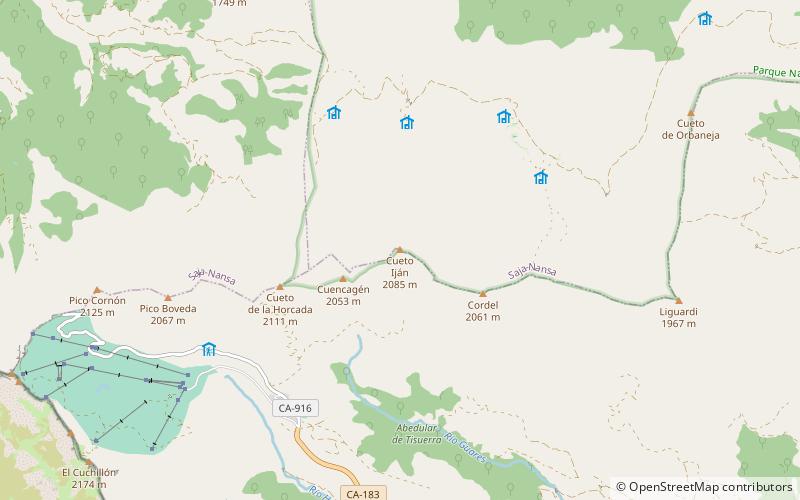
Map
Map
Gallery
Facts and practical information
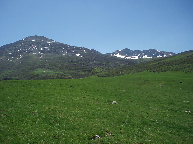
Cueto Iján or Peña Hiján is a mountain located in the center of the Cordel mountain range, between the municipality of Hermandad de Campoo de Suso and the Mancomunidad Campoo-Cabuérniga. It is 2085 metres high. At its summit there is a geodesic vertex that marks the height of 2085 metres above sea level at the base of the pillar.
Coordinates: 43°3'13"N, 4°20'15"W
Address
Saja-Besaya Natural Park
ContactAdd
Social media
Add
Day trips


