Cerro de los Ángeles, Madrid
Map
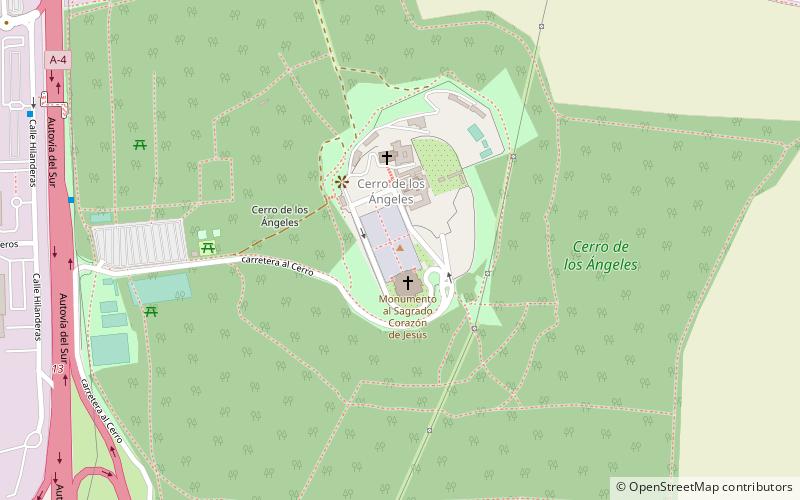
Map

Facts and practical information
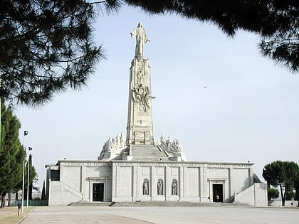
The Cerro de los Ángeles is a hill located in Getafe, Spain, about 10 km south of Madrid. The site is famous for being the geographic centre of the Iberian Peninsula. On top of the hill there is a fourteenth-century monastery named Our Lady of the Angels, as well as the Monument to the Sacred Heart of Jesus, built in 1919 to dedicate the country and inaugurated by king Alfonso XIII. ()
Day trips
Cerro de los Ángeles – popular in the area (distance from the attraction)
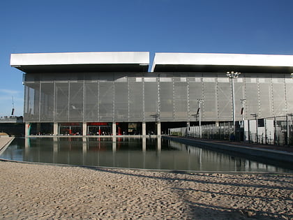
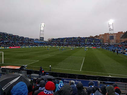
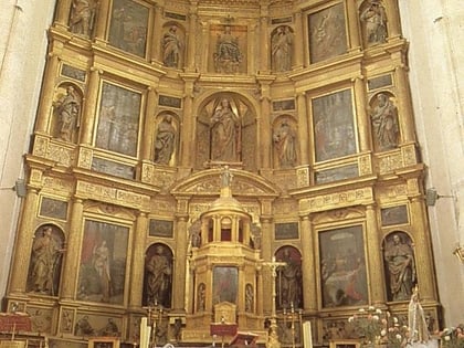
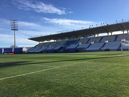
Nearby attractions include: Caja Mágica, Coliseum Alfonso Pérez, Getafe Cathedral, Estadio Municipal de Butarque.
Frequently Asked Questions (FAQ)
How to get to Cerro de los Ángeles by public transport?
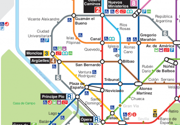
The nearest stations to Cerro de los Ángeles:
Bus
Bus
- Parada Getafe a Madrid • Lines: 447 (10 min walk)
 Metro
Metro